Approximate Location Map
Large Map »
Latitude: 52.8419 / 52°50'30"N
Longitude: -1.3782 / 1°22'41"W
OS Eastings: 441979
OS Northings: 327335
OS Grid: SK419273
Mapcode National: GBR 7H9.SGG
Mapcode Global: WHDH7.STXP
Plus Code: 9C4WRJRC+QP
Entry Name: Chain Bridge
Listing Date: 16 January 1989
Grade: II
Source: Historic England
Source ID: 1101748
English Heritage Legacy ID: 358143
ID on this website: 101101748
Location: North West Leicestershire, DE74
County: Leicestershire
District: North West Leicestershire
Civil Parish: Castle Donington
Traditional County: Leicestershire
Lieutenancy Area (Ceremonial County): Leicestershire
Church of England Parish: Castle Donington St Edward the King and Martyr
Church of England Diocese: Leicester
Tagged with: Footbridge
CASTLE DONINGTON PARK LANE
SK 42 NIi
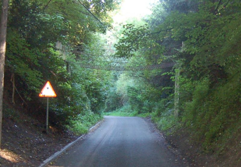
Chain Bridge
2/96
- II
Former footbridge connecting Donington Park with kitchen gardens. Mid-late
C19. At each end is a battered retaining pier of dressed stone. Chains are
hung from wooden posts between. Four heavy chains supported former wooden foot-
way, now missing. Balustrades are made up of lighter chains arranged in criss-
cross pattern.
Listing NGR: SK4197927335
External links are from the relevant listing authority and, where applicable, Wikidata. Wikidata IDs may be related buildings as well as this specific building. If you want to add or update a link, you will need to do so by editing the Wikidata entry.


Other nearby listed buildings
