Latitude: 51.7503 / 51°45'1"N
Longitude: -0.3412 / 0°20'28"W
OS Eastings: 514608
OS Northings: 207035
OS Grid: TL146070
Mapcode National: GBR H89.BJL
Mapcode Global: VHGPQ.18HK
Plus Code: 9C3XQM25+4G
Entry Name: Well and adjacent posts on side of The Vintry garden to Numbers 3 and 3A, High Street
Listing Date: 27 August 1971
Grade: II
Source: Historic England
Source ID: 1103129
English Heritage Legacy ID: 163314
ID on this website: 101103129
Location: The Vintry Garden, St Albans, St. Albans, Hertfordshire, AL1
County: Hertfordshire
District: St. Albans
Electoral Ward/Division: Verulam
Parish: Non Civil Parish
Built-Up Area: St Albans
Traditional County: Hertfordshire
Lieutenancy Area (Ceremonial County): Hertfordshire
Church of England Parish: Abbey Parish of St Albans
Church of England Diocese: St.Albans
Tagged with: Wall
This list entry was subject to a Minor Amendment on 25 July 2025 to correct a typo in the name and address and to reformat the text to current standards
TL 1407 SE
9/93B
HIGH STREET (South Side)
Well and adjacent posts on side of The Vintry garden to Nos 3 & 3A
II
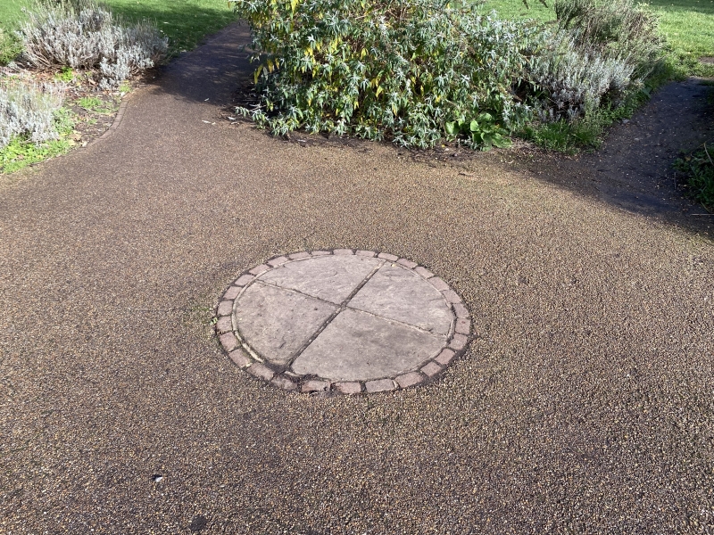
Circular stone ruin of ancient well; and two octagonal stone posts, with square bases and chamfered tops standing by it.
Listing NGR: TL1466807085
External links are from the relevant listing authority and, where applicable, Wikidata. Wikidata IDs may be related buildings as well as this specific building. If you want to add or update a link, you will need to do so by editing the Wikidata entry.


Other nearby listed buildings