Latitude: 50.7189 / 50°43'8"N
Longitude: -3.5361 / 3°32'10"W
OS Eastings: 291654
OS Northings: 92160
OS Grid: SX916921
Mapcode National: GBR P0.QBHL
Mapcode Global: FRA 37H5.L6H
Plus Code: 9C2RPF97+HG
Entry Name: Old Exe Bridge
Listing Date: 29 January 1953
Grade: II
Source: Historic England
Source ID: 1103988
English Heritage Legacy ID: 89046
ID on this website: 101103988
Location: The Quay, Exeter, Devon, EX2
County: Devon
District: Exeter
Electoral Ward/Division: St David's
Parish: Non Civil Parish
Built-Up Area: Exeter
Traditional County: Devon
Lieutenancy Area (Ceremonial County): Devon
Church of England Parish: Exeter St Mary Steps
Church of England Diocese: Exeter
Tagged with: Bridge
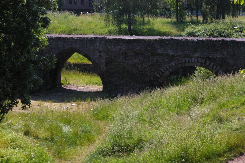
EDMUND STREET 1. 1092 Old Exe Bridge SX 9192 SE 5/147 29.1.53 II 2. Mediaeval. Seven arches (5 semi-circular and 2 pointed) remain of the original bridge probably C14. Two are in the crypt of St Edmunds Church together with the piers on which the church stood. Base of the remaining piers can be seen in bed of River Exe. AM.
Listing NGR: SX9165492160
External links are from the relevant listing authority and, where applicable, Wikidata. Wikidata IDs may be related buildings as well as this specific building. If you want to add or update a link, you will need to do so by editing the Wikidata entry.


Other nearby listed buildings