Latitude: 50.5794 / 50°34'45"N
Longitude: -3.9393 / 3°56'21"W
OS Eastings: 262787
OS Northings: 77308
OS Grid: SX627773
Mapcode National: GBR Q6.CV5W
Mapcode Global: FRA 27MJ.R40
Plus Code: 9C2RH3H6+P7
Entry Name: Powder Mills
Listing Date: 28 October 1987
Grade: II
Source: Historic England
Source ID: 1105418
English Heritage Legacy ID: 92753
ID on this website: 101105418
Location: West Devon, PL20
County: Devon
District: West Devon
Civil Parish: Dartmoor Forest
Traditional County: Devon
Lieutenancy Area (Ceremonial County): Devon
Tagged with: Building
LYDFORD
SX 67 NW
11/20 Powder Mills
-
GV II
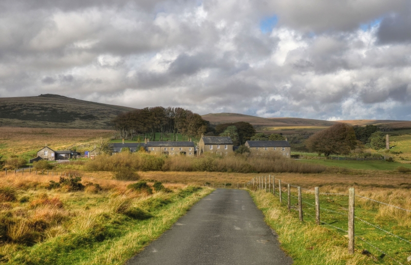
Ruins of gunpowder mill. Established in 1844 by a Plymouth alderman George Frean.
Originally quite an extensive complex of buildings running up the valley with
several water wheels turned by water from a leat and with 2 chimneys. All the
buildings are now in varying degrees of ruin although one chimney survives and 3
main groups are recognisable of granite rubble with granite lintels, all roofless.
The chimney is well constructed with stringcourse near the top and plinth. It has a
covered channel running downhill from it towards the largest ruinous building.
The invention of dynamite in 1867 rapidly superceded gunpowder. and the mills, which
employed about 100 men closed in the 1890s.
Source: Dartmoor : A New Study - Industry : Frank Booker.
Listing NGR: SX6278777308
External links are from the relevant listing authority and, where applicable, Wikidata. Wikidata IDs may be related buildings as well as this specific building. If you want to add or update a link, you will need to do so by editing the Wikidata entry.


Other nearby listed buildings