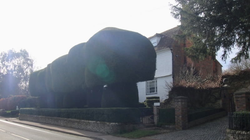
Latitude: 51.1364 / 51°8'11"N
Longitude: 0.4257 / 0°25'32"E
OS Eastings: 569798
OS Northings: 140258
OS Grid: TQ697402
Mapcode National: GBR NRB.LFR
Mapcode Global: VHJMY.BPDP
Plus Code: 9F324CPG+H7
Entry Name: Walls and Railings Surrounding Remingtons
Listing Date: 10 October 1989
Grade: II
Source: Historic England
Source ID: 1107207
English Heritage Legacy ID: 169896
ID on this website: 101107207
Location: Horsmonden, Tunbridge Wells, Kent, TN12
County: Kent
District: Tunbridge Wells
Civil Parish: Horsmonden
Traditional County: Kent
Lieutenancy Area (Ceremonial County): Kent
Church of England Parish: Horsmonden St Margaret
Church of England Diocese: Rochester
Tagged with: Wall
HORSMONDEN LAMBERHURST ROAD TQ 6840-6940 (west side) 6/60 Walls and railings surrounding Remingtons GV II
Walls and railings. C18 or early C19. Red and blue chequered brick and wrought iron rails. The roadside section fronting the home with low brick wall carrying simple iron rails with arched supporters and returned to house with small single leaf gate to end right. Principal garden walls ramped up 2 and 3 tines to about 6 feet in height, with occasional buttresses, and enclosing a rear garden about 30 by 30 metres.
Listing NGR: TQ6979840258
External links are from the relevant listing authority and, where applicable, Wikidata. Wikidata IDs may be related buildings as well as this specific building. If you want to add or update a link, you will need to do so by editing the Wikidata entry.


Other nearby listed buildings