Approximate Location Map
Large Map »
Latitude: 51.9174 / 51°55'2"N
Longitude: -0.6095 / 0°36'34"W
OS Eastings: 495730
OS Northings: 225235
OS Grid: SP957252
Mapcode National: GBR F35.NQW
Mapcode Global: VHFRB.D24F
Plus Code: 9C3XW98R+X5
Entry Name: The Waylands
Listing Date: 26 September 1980
Grade: II
Source: Historic England
Source ID: 1114676
English Heritage Legacy ID: 35940
ID on this website: 101114676
Location: Eggington, Central Bedfordshire, LU7
County: Central Bedfordshire
Civil Parish: Eggington
Traditional County: Bedfordshire
Lieutenancy Area (Ceremonial County): Bedfordshire
Church of England Parish: Eggington
Church of England Diocese: St.Albans
Tagged with: Building
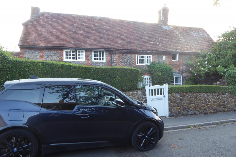
1.
5125 EGGINGTON CHURCH WALK
The Waylands
SP 9525 16/100
II
2.
Late C17. Blue brick with red brick dressings. Two storeys. Old clay tile roof.
Three Yorkshire casements, one casement window; all with glazing bars.
Listing NGR: SP9573025235
External links are from the relevant listing authority and, where applicable, Wikidata. Wikidata IDs may be related buildings as well as this specific building. If you want to add or update a link, you will need to do so by editing the Wikidata entry.


Other nearby listed buildings
