Latitude: 54.7354 / 54°44'7"N
Longitude: -1.5759 / 1°34'33"W
OS Eastings: 427406
OS Northings: 537902
OS Grid: NZ274379
Mapcode National: GBR KFFP.M9
Mapcode Global: WHC4X.R7RN
Plus Code: 9C6WPCPF+4J
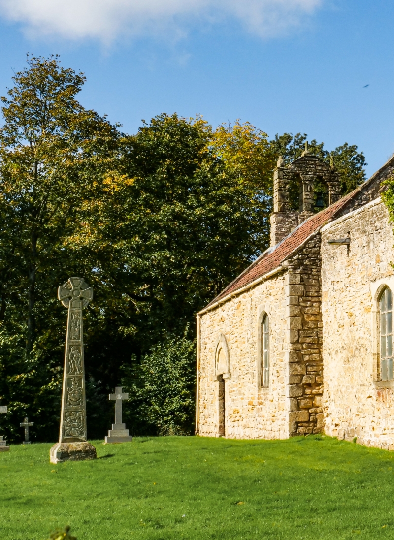
Entry Name: Cross Shaft Base 8 Metres South of Church to North East of Croxdale Hall
Listing Date: 7 December 1987
Grade: II
Source: Historic England
Source ID: 1120741
English Heritage Legacy ID: 109939
ID on this website: 101120741
Location: Sunderland Bridge, County Durham, DH6
County: County Durham
Civil Parish: Croxdale and Hett
Traditional County: Durham
Lieutenancy Area (Ceremonial County): County Durham
Church of England Parish: Croxdale
Church of England Diocese: Durham
Tagged with: Building
CROXDALE AND HETT CROXDALE HALL NZ 2737 27403790 17/58 Cross-shaft base 8.0 metres south of Church to north-east of Croxdale Hall II
Base of cross shaft. Medieval. Sandstone. Small square-plan base, with chamfered top edges, surmounted by 1978 carved stone cross.
Listing NGR: NZ2740637902
External links are from the relevant listing authority and, where applicable, Wikidata. Wikidata IDs may be related buildings as well as this specific building. If you want to add or update a link, you will need to do so by editing the Wikidata entry.


Other nearby listed buildings