Latitude: 51.8063 / 51°48'22"N
Longitude: 0.6353 / 0°38'7"E
OS Eastings: 581784
OS Northings: 215245
OS Grid: TL817152
Mapcode National: GBR QL3.RFW
Mapcode Global: VHJJR.YVRP
Plus Code: 9F32RJ4P+G4
Entry Name: Barnardiston
Listing Date: 1 March 1950
Last Amended: 7 February 1973
Grade: II
Source: Historic England
Source ID: 1122607
English Heritage Legacy ID: 113492
ID on this website: 101122607
Location: Chipping Hill, Braintree, Essex, CM8
County: Essex
District: Braintree
Civil Parish: Witham
Built-Up Area: Witham
Traditional County: Essex
Lieutenancy Area (Ceremonial County): Essex
Church of England Parish: Witham St Nicolas
Church of England Diocese: Chelmsford
Tagged with: Building
1. 1841 CHIPPINGHILL (South Side)
No 35 (Barnardiston) (Formerly listed under Road to Powershall End) TL 8115 3/10 1.3.50.
II GV
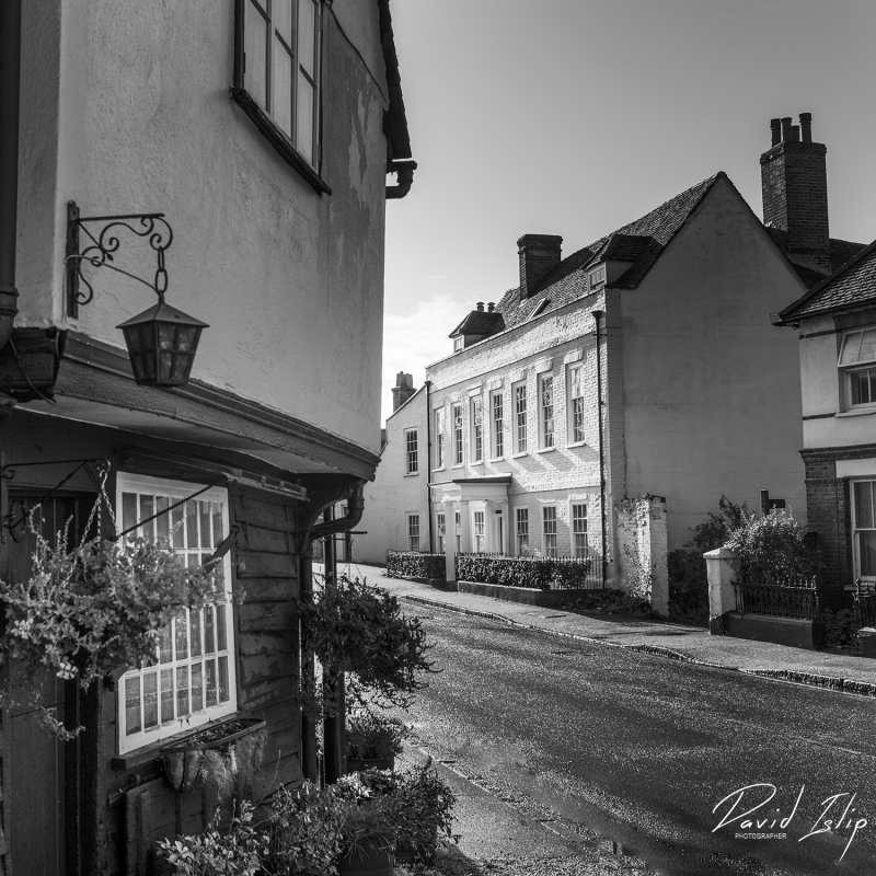
A C16-C17 timber-framed and plastered house with a C18 painted brick front with a parapet and a raised brick band. 2 storeys and attics. 7 window range, double-hung sashes with glazing bars, in flush cased frames. A rasied brick band- runs between the storeys. A central doorway has a projecting Doric porch with fluted columns, a frieze and cornice. A wing extends to the rear at the west end. Roof tiled, with. 2 hipped dormers on the north front. The interior has some C17 panelling and a beam carved with the initials E C and inscribed ANO DOM 1610. RCHM (16).
No 18 and Smithy, Nos 20 to 30 (even), Parish Church of St Nicholas, The Vicarage, No 35 (Barnardiston), Nos 43 to 55 (odd) and No 2 (White Horse Public House) and Nos 4 and 6 Church Street form a group. Also No 35 (Barnardiston) forms a group with Nos 14 (Recess) and 16 (Braystons).
Listing NGR: TL8178415245
External links are from the relevant listing authority and, where applicable, Wikidata. Wikidata IDs may be related buildings as well as this specific building. If you want to add or update a link, you will need to do so by editing the Wikidata entry.


Other nearby listed buildings