Latitude: 53.1442 / 53°8'39"N
Longitude: -2.3613 / 2°21'40"W
OS Eastings: 375927
OS Northings: 360843
OS Grid: SJ759608
Mapcode National: GBR 010.XGT
Mapcode Global: WH9B0.P7RF
Plus Code: 9C5V4JVQ+MF
Entry Name: 21, Hawk Street
Listing Date: 3 June 1976
Grade: II
Source: Historic England
Source ID: 1130349
English Heritage Legacy ID: 56203
ID on this website: 101130349
HAWK STREET 1. 5144 No 21 SJ 7560 1/9 3.6.76. II GV
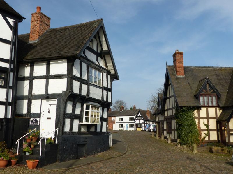
2. A small C17 house of "black and white" timber frame with plaster or brick nogging; two storeys plus attic; slight overhangs; one gable; renewed casement windows, some with glazing bars; small C18 oriel bay to ground storey and plain wood doorcase with C19 4-panelled door; old tiles.
Listing NGR: SJ7592760842
External links are from the relevant listing authority and, where applicable, Wikidata. Wikidata IDs may be related buildings as well as this specific building. If you want to add or update a link, you will need to do so by editing the Wikidata entry.


Other nearby listed buildings