Approximate Location Map
Large Map »
Latitude: 51.6089 / 51°36'32"N
Longitude: -2.5243 / 2°31'27"W
OS Eastings: 363787
OS Northings: 190141
OS Grid: ST637901
Mapcode National: GBR JT.9XBR
Mapcode Global: VH87X.6TBG
Plus Code: 9C3VJF5G+H7
Entry Name: 5, St Johns Street
Listing Date: 17 December 1984
Grade: II
Source: Historic England
Source ID: 1136907
English Heritage Legacy ID: 35012
ID on this website: 101136907
Location: Thornbury, South Gloucestershire, BS35
County: South Gloucestershire
Civil Parish: Thornbury
Built-Up Area: Thornbury
Traditional County: Gloucestershire
Lieutenancy Area (Ceremonial County): Gloucestershire
Church of England Parish: Thornbury St Mary
Church of England Diocese: Gloucester
Tagged with: Building
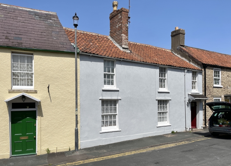
THORNBURY ST JOHN'S STREET
4/108 (north side)
ST 6390
No 5
GV
II
Early C19. Recent render pantile roof. Brick stack. Two storeys. Three
windows, plain glazing bar sashes at ground and first floor to right,
6-panelled door (top 2 panels now glazed) with hood on carved wooden
brackets.
Listing NGR: ST6378790140
External links are from the relevant listing authority and, where applicable, Wikidata. Wikidata IDs may be related buildings as well as this specific building. If you want to add or update a link, you will need to do so by editing the Wikidata entry.


Other nearby listed buildings
