Approximate Location Map
Large Map »
Latitude: 50.3699 / 50°22'11"N
Longitude: -4.4588 / 4°27'31"W
OS Eastings: 225244
OS Northings: 55110
OS Grid: SX252551
Mapcode National: GBR NG.V0JW
Mapcode Global: FRA 18K2.0RW
Plus Code: 9C2Q9G9R+XF
Entry Name: Lock 40M to South of Steppes Lodge
Listing Date: 18 December 1985
Grade: II
Source: Historic England
Source ID: 1140267
English Heritage Legacy ID: 60701
ID on this website: 101140267
Location: St Martin, Cornwall, PL13
County: Cornwall
Civil Parish: Looe
Traditional County: Cornwall
Lieutenancy Area (Ceremonial County): Cornwall
Church of England Parish: Morval
Church of England Diocese: Truro
Tagged with: Lock
MORVAL
SX 25 NE
4/43
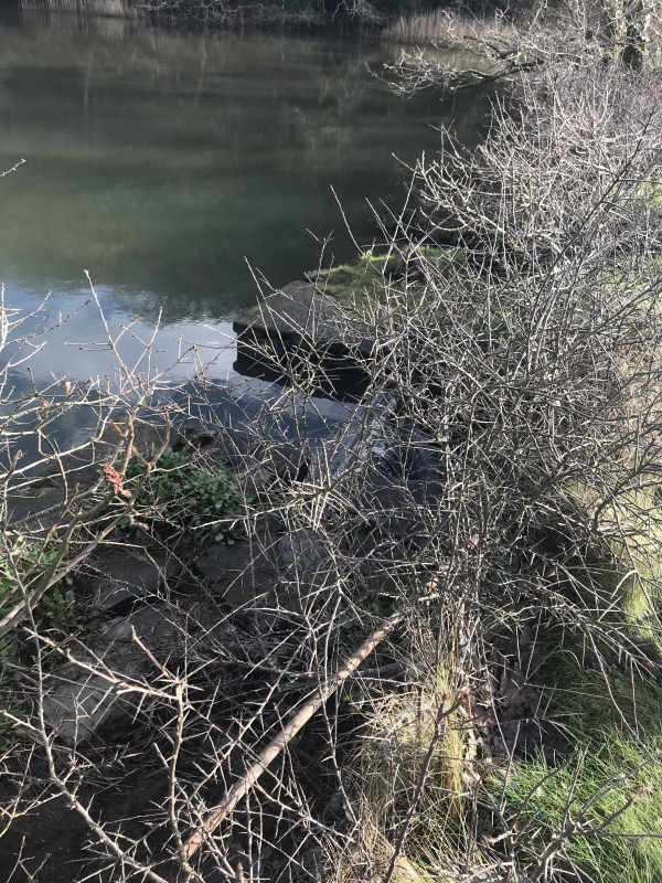
Lock 40m to south of Steppes Lodge, A 387
II
Lock for fish pond on Morval Estate. Circa early C19. Timber lock at mouth of fishpond which is fed by a stream which flows from the north east through the wooded gardens of the Estate. The lock controls the flow of water under the A 387 and into the East Looe River.
This entry was subject to a Minor Amendment on 12 September 2017.
External links are from the relevant listing authority and, where applicable, Wikidata. Wikidata IDs may be related buildings as well as this specific building. If you want to add or update a link, you will need to do so by editing the Wikidata entry.


Other nearby listed buildings
