Approximate Location Map
Large Map »
Latitude: 50.195 / 50°11'41"N
Longitude: -5.0591 / 5°3'32"W
OS Eastings: 181756
OS Northings: 37252
OS Grid: SW817372
Mapcode National: GBR ZG.1S9B
Mapcode Global: FRA 089H.T0J
Plus Code: 9C2P5WVR+X8
Entry Name: Marble Head Quay
Listing Date: 12 March 1986
Grade: II
Source: Historic England
Source ID: 1140894
English Heritage Legacy ID: 63293
ID on this website: 101140894
Location: Harcourt, Cornwall, TR3
County: Cornwall
Civil Parish: Feock
Built-Up Area: Feock
Traditional County: Cornwall
Lieutenancy Area (Ceremonial County): Cornwall
Church of England Parish: Feock
Church of England Diocese: Truro
Tagged with: Wharf
SW 83 NW FEOCK
4/5 Marble Head Quay
GV II
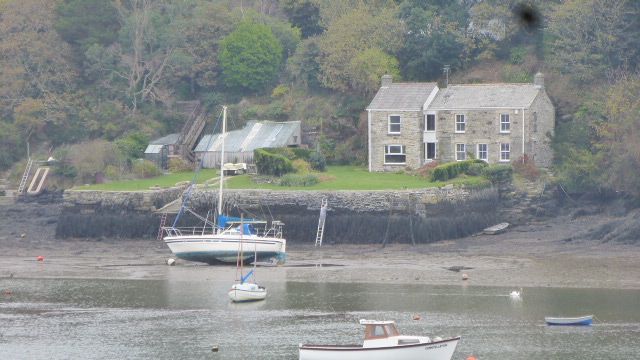
Quay. 1783. Vertically-set dry slatestone rubble walls with some granite quoins.
Rectangular walled area with loading bays to each side. Walling is battered
progressively more towards foundation. All loading bays are blocked with vertically-
set slatestone except 1 to north side of west wall.
Listing NGR: SW8175637252
External links are from the relevant listing authority and, where applicable, Wikidata. Wikidata IDs may be related buildings as well as this specific building. If you want to add or update a link, you will need to do so by editing the Wikidata entry.


Other nearby listed buildings
