Approximate Location Map
Large Map »
Latitude: 50.2248 / 50°13'29"N
Longitude: -5.182 / 5°10'55"W
OS Eastings: 173133
OS Northings: 40932
OS Grid: SW731409
Mapcode National: GBR Z6.1XKR
Mapcode Global: FRA 081F.F0T
Plus Code: 9C2P6RF9+W6
Entry Name: Boundary Stone at SW 731409 SW
Listing Date: 3 February 1986
Grade: II
Source: Historic England
Source ID: 1140929
English Heritage Legacy ID: 63185
ID on this website: 101140929
Location: Carharrack, Cornwall, TR16
County: Cornwall
Civil Parish: Gwennap
Built-Up Area: Carharrack
Traditional County: Cornwall
Lieutenancy Area (Ceremonial County): Cornwall
Church of England Parish: St Day
Church of England Diocese: Truro
Tagged with: Boundary marker
SW 74 SW
4/87
GWENNAP
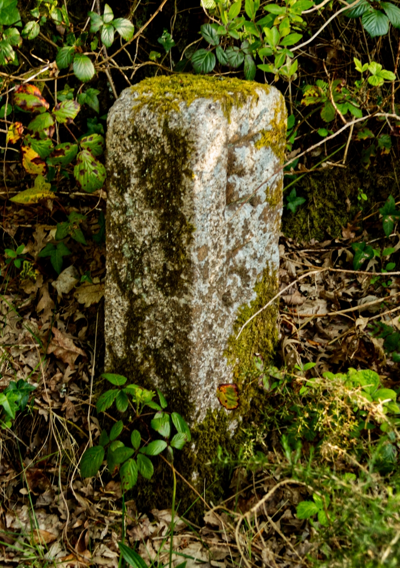
Boundary Stone at SW 731409 SW
GV
II
Tin boundary stone. Circa early/mid C19. Dressed granite monolith. Square on
plan with chamfered corners. Rounded corner to head. North face has deeply incised inscription of Roman letter E over Arabic numeral 5.
Once numerous, these stones are now few in number and this is a late example.
Listing NGR: SW7313340932
External links are from the relevant listing authority and, where applicable, Wikidata. Wikidata IDs may be related buildings as well as this specific building. If you want to add or update a link, you will need to do so by editing the Wikidata entry.


Other nearby listed buildings
