Approximate Location Map
Large Map »
Latitude: 50.2123 / 50°12'44"N
Longitude: -5.4805 / 5°28'49"W
OS Eastings: 151776
OS Northings: 40498
OS Grid: SW517404
Mapcode National: GBR DXV3.VT4
Mapcode Global: VH12D.YXJM
Plus Code: 9C2P6G69+WQ
Entry Name: Lloyds Bank
Listing Date: 22 December 1972
Grade: II
Source: Historic England
Source ID: 1143352
English Heritage Legacy ID: 69028
ID on this website: 101143352
Location: St Ives, Cornwall, TR26
County: Cornwall
Civil Parish: St. Ives
Built-Up Area: St Ives
Traditional County: Cornwall
Lieutenancy Area (Ceremonial County): Cornwall
Church of England Parish: St Ives
Church of England Diocese: Truro
Tagged with: Bank building
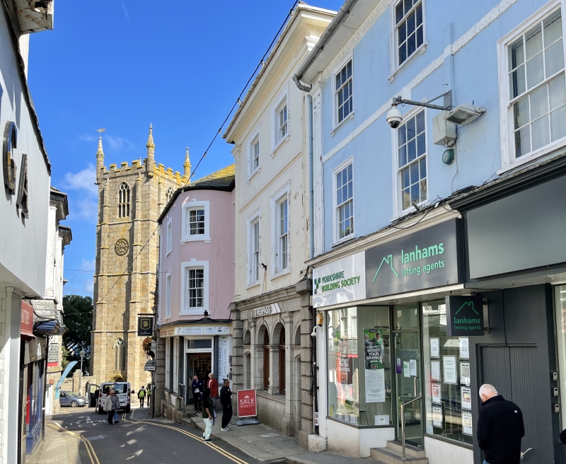
HIGH STREET
1. (South Side)
1587 ------------
Lloyds Bank
SW 54 SW 1/106
II GV
2.
Early-mid C19. Stucco. Panelled pilasters, moulded and shouldered architraves
to windows. Three storeys, two windows, sashes with glazing bars. Later
granite ashlar ground floor with rusticated pilaster, round headed windows
and fanlights. Slate hipped roof, moulded eaves. Group value.
Lloyds Bank and The Information Bureau form a group.
Listing NGR: SW5178240495
External links are from the relevant listing authority and, where applicable, Wikidata. Wikidata IDs may be related buildings as well as this specific building. If you want to add or update a link, you will need to do so by editing the Wikidata entry.


Other nearby listed buildings
