Approximate Location Map
Large Map »
Latitude: 50.2134 / 50°12'48"N
Longitude: -5.4802 / 5°28'48"W
OS Eastings: 151802
OS Northings: 40618
OS Grid: SW518406
Mapcode National: GBR DXV3.VYT
Mapcode Global: VH12D.YWNS
Plus Code: 9C2P6G79+9W
Entry Name: 27, Fore Street
Listing Date: 22 December 1972
Grade: II
Source: Historic England
Source ID: 1143373
English Heritage Legacy ID: 68980
ID on this website: 101143373
Location: St Ives, Cornwall, TR26
County: Cornwall
Civil Parish: St. Ives
Built-Up Area: St Ives
Traditional County: Cornwall
Lieutenancy Area (Ceremonial County): Cornwall
Church of England Parish: St Ives
Church of England Diocese: Truro
Tagged with: Building
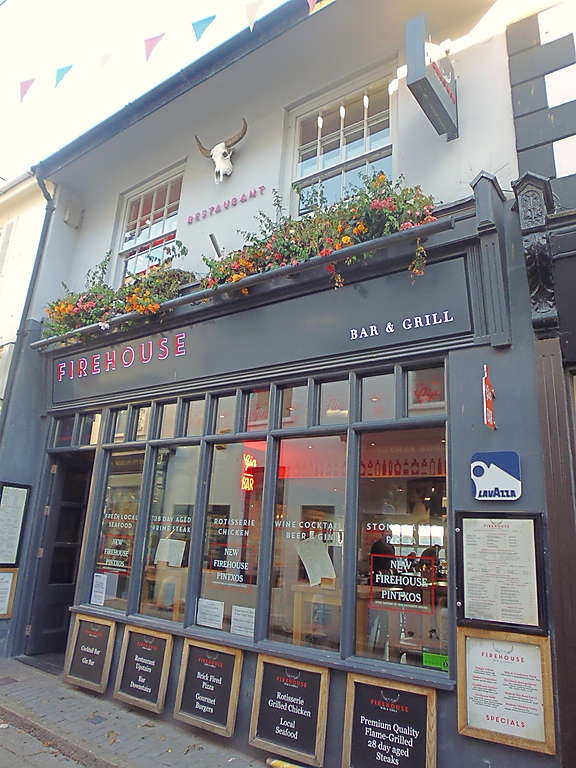
FORE STREET
1. (East Side)
1587 ------------
No 27
SW 54 SW 1/85
II GV
2.
C19. Stucco. Slate roof. Two storeys. Two windows. Ground floor C20
shop front with glazing bars and rounded corner swept to recessed entrance,
slate hung plinth. First floor recessed double-hung sashes with glazing
bars. Very wide, coved, plastered eaves soffit. Group value only.
Nos 27 to 33 (odd) form a group.
Listing NGR: SW5180240618
External links are from the relevant listing authority and, where applicable, Wikidata. Wikidata IDs may be related buildings as well as this specific building. If you want to add or update a link, you will need to do so by editing the Wikidata entry.


Other nearby listed buildings
