Approximate Location Map
Large Map »
Latitude: 50.2144 / 50°12'51"N
Longitude: -5.4802 / 5°28'48"W
OS Eastings: 151809
OS Northings: 40728
OS Grid: SW518407
Mapcode National: GBR DXV3.NK7
Mapcode Global: VH12D.YWP0
Plus Code: 9C2P6G79+QW
Entry Name: 61 and 63, Fore Street
Listing Date: 22 December 1972
Grade: II
Source: Historic England
Source ID: 1143376
English Heritage Legacy ID: 68985
ID on this website: 101143376
Location: St Ives, Cornwall, TR26
County: Cornwall
Civil Parish: St. Ives
Built-Up Area: St Ives
Traditional County: Cornwall
Lieutenancy Area (Ceremonial County): Cornwall
Church of England Parish: St Ives
Church of England Diocese: Truro
Tagged with: Building
FORE STREET
1. (East Side)
1587 -----------
Nos 61 and 63
SW 54 SW 1/93
II GV
2.
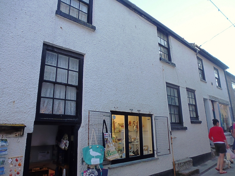
Early C19. Roughcast, quoins. Two storeys. Two windows, sashes in
moulded cases. glazing bars. Modern plate glass shop front. Slate roof,
overhanging eaves. Group value.
Nos 49 to 63 (odd) form a group.
Listing NGR: SW5180940728
External links are from the relevant listing authority and, where applicable, Wikidata. Wikidata IDs may be related buildings as well as this specific building. If you want to add or update a link, you will need to do so by editing the Wikidata entry.


Other nearby listed buildings
