Latitude: 53.9878 / 53°59'16"N
Longitude: -1.5398 / 1°32'23"W
OS Eastings: 430274
OS Northings: 454739
OS Grid: SE302547
Mapcode National: GBR KQPB.F7
Mapcode Global: WHC8M.B106
Plus Code: 9C5WXFQ6+43
Entry Name: Stone pillar (near south east corner of West Park)
Listing Date: 4 February 1975
Grade: II
Source: Historic England
Source ID: 1149401
English Heritage Legacy ID: 329978
ID on this website: 101149401
Location: West Park, North Yorkshire, HG2
County: North Yorkshire
District: Harrogate
Electoral Ward/Division: Low Harrogate
Parish: Harrogate
Built-Up Area: Harrogate
Traditional County: Yorkshire
Lieutenancy Area (Ceremonial County): North Yorkshire
Church of England Parish: High Harrogate St Peter
Church of England Diocese: Leeds
Tagged with: Architectural structure Boundary marker
This list entry was subject to a Minor Amendment on 12 December 2024 to reformat the text to current standards
WEST PARK
Stone pillar (near south east corner of West Park)
SE 3054 NW
25/38
II
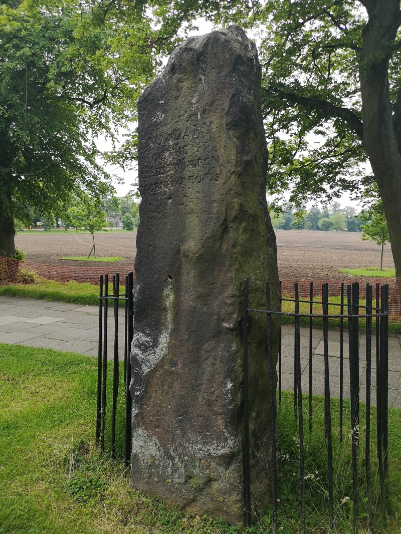
Erected 1778 to mark the boundary of two Turnpike Trusts on the Leeds to Ripon Turnpike Road. Rough-hewn grit stone monolith inscribed "Boundary of the Leeds and Ripon Turnpike roads."
Listing NGR: SE3027454739
External links are from the relevant listing authority and, where applicable, Wikidata. Wikidata IDs may be related buildings as well as this specific building. If you want to add or update a link, you will need to do so by editing the Wikidata entry.


Other nearby listed buildings