Approximate Location Map
Large Map »
Latitude: 50.1078 / 50°6'28"N
Longitude: -5.6092 / 5°36'33"W
OS Eastings: 142037
OS Northings: 29322
OS Grid: SW420293
Mapcode National: GBR DXJD.HGH
Mapcode Global: VH05G.QKH6
Plus Code: 9C2P495R+48
Entry Name: Cross at Approximately 25 Metres South East of Church of St Credan
Listing Date: 15 December 1988
Grade: II
Source: Historic England
Source ID: 1158348
English Heritage Legacy ID: 69832
ID on this website: 101158348
Location: Sancreed, Cornwall, TR20
County: Cornwall
Civil Parish: Sancreed
Traditional County: Cornwall
Lieutenancy Area (Ceremonial County): Cornwall
Church of England Parish: Sancreed
Church of England Diocese: Truro
Tagged with: Monumental cross
SANCREED SANCREED
SW 42 NW
5/292 Cross at approximately 25 metres
- south east of Church of Credan
GV II
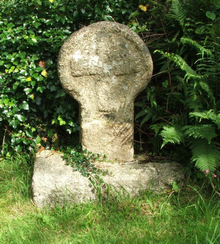
Cross. Pre-Conquest. Granite monolithic wheel-head set over churchyard wall. Front
and rear faces of the cross have Greek crosses in relief.
Scheduled Ancient Monument 641.
Listing NGR: SW4204329346
External links are from the relevant listing authority and, where applicable, Wikidata. Wikidata IDs may be related buildings as well as this specific building. If you want to add or update a link, you will need to do so by editing the Wikidata entry.


Other nearby listed buildings
