Latitude: 52.1917 / 52°11'30"N
Longitude: -1.7043 / 1°42'15"W
OS Eastings: 420310
OS Northings: 254866
OS Grid: SP203548
Mapcode National: GBR 4LT.FYJ
Mapcode Global: VHBY0.D5VP
Plus Code: 9C4W57RW+M7
Entry Name: 31, Sheep Street
Listing Date: 9 February 1972
Grade: II
Source: Historic England
Source ID: 1187854
English Heritage Legacy ID: 366401
ID on this website: 101187854
Location: Stratford-upon-Avon, Stratford-on-Avon, Warwickshire, CV37
County: Warwickshire
District: Stratford-on-Avon
Civil Parish: Stratford-upon-Avon
Built-Up Area: Stratford-upon-Avon
Traditional County: Warwickshire
Lieutenancy Area (Ceremonial County): Warwickshire
Church of England Parish: Stratford on Avon Holy Trinity
Church of England Diocese: Coventry
Tagged with: Building
STRATFORD-UPON-AVON
SP2054NW SHEEP STREET 604-1/10/218 (North side) 09/02/72 No.31
GV II
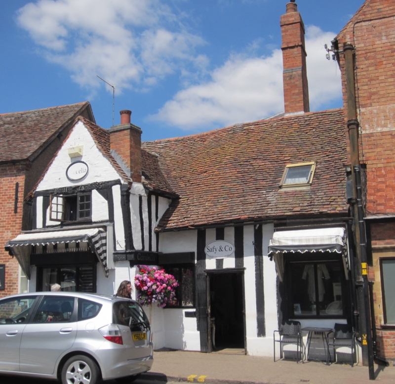
Town house, now shop. Probably late C15 with later alterations. Timber-frame with some plastered brick; tile roof with brick stacks. Single-storey with cross-wing and later rear wing. Entrance with C20 door and flanking windows; wing has windows with C20 frames. Lateral stack to wing and tall stack to rear of ridge. Rear wing has C19 lantern with pyramidal roof. Some close-studded framing and framing to 1st floor of wing. Left return has exposed framing. INTERIOR has chamfered beams and some exposed framing. (Bearman R: Stratford-upon-Avon: A History of its Streets and Buildings: Nelson: 1988-: 51).
Listing NGR: SP2031054866
External links are from the relevant listing authority and, where applicable, Wikidata. Wikidata IDs may be related buildings as well as this specific building. If you want to add or update a link, you will need to do so by editing the Wikidata entry.


Other nearby listed buildings