Latitude: 54.2641 / 54°15'50"N
Longitude: -1.1642 / 1°9'50"W
OS Eastings: 454540
OS Northings: 485702
OS Grid: SE545857
Mapcode National: GBR NM94.R6
Mapcode Global: WHD8L.22XX
Plus Code: 9C6W7R7P+J8
Entry Name: Limekilns Approximately 250 Metres West of Grange Farm
Listing Date: 14 March 1986
Grade: II
Source: Historic England
Source ID: 1191228
English Heritage Legacy ID: 328509
ID on this website: 101191228
Location: Old Byland, North Yorkshire, YO62
County: North Yorkshire
District: Ryedale
Civil Parish: Old Byland and Scawton
Traditional County: Yorkshire
Lieutenancy Area (Ceremonial County): North Yorkshire
Church of England Parish: Upper Ryedale
Church of England Diocese: York
Tagged with: Lime kiln
SE 58 NW
6/33
OLD BYLAND
COLD KIRBY ROAD
(south side)
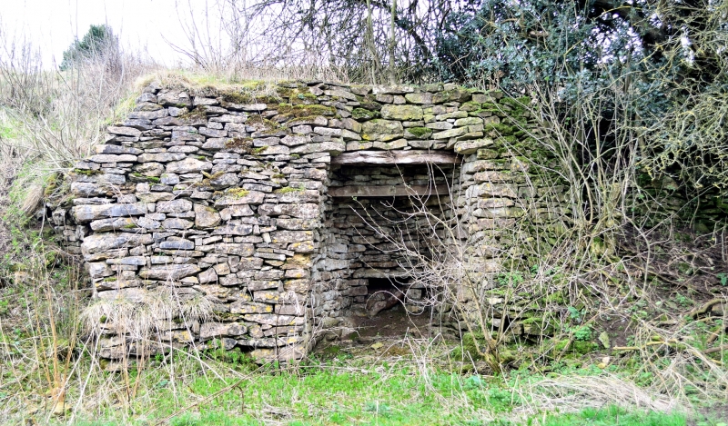
Limekilns approximately 250 metres west of Grange Farm
II
4 limekilns. C19. Limestone rubble. Substantial remains, rising to about
5 metres, of 4 limekilns. 2nd and 4th ones retain roof and flue.
Listing NGR: SE5454085702
External links are from the relevant listing authority and, where applicable, Wikidata. Wikidata IDs may be related buildings as well as this specific building. If you want to add or update a link, you will need to do so by editing the Wikidata entry.


Other nearby listed buildings