Latitude: 52.6868 / 52°41'12"N
Longitude: -1.8305 / 1°49'49"W
OS Eastings: 411557
OS Northings: 309918
OS Grid: SK115099
Mapcode National: GBR 4DN.D1Y
Mapcode Global: WHCGN.VQJK
Plus Code: 9C4WM5P9+PR
Entry Name: Bastion to North East Angle and Attached Walls of Garden of Former Episcopal Palace
Listing Date: 6 March 1970
Last Amended: 17 June 1994
Grade: II*
Source: Historic England
Source ID: 1194878
English Heritage Legacy ID: 382793
ID on this website: 101194878
Location: Lichfield, Staffordshire, WS13
County: Staffordshire
District: Lichfield
Civil Parish: Lichfield
Built-Up Area: Lichfield
Traditional County: Staffordshire
Lieutenancy Area (Ceremonial County): Staffordshire
Tagged with: Architectural structure
LICHFIELD
SK1109NE THE CLOSE
1094-1/5/216 (North side)
06/03/70 Bastion to NE angle and attached
walls of garden of former Episcopal
Palace
(Formerly Listed as:
THE CLOSE
Bastion in the garden of the former
Episcopal Palace)
GV II*
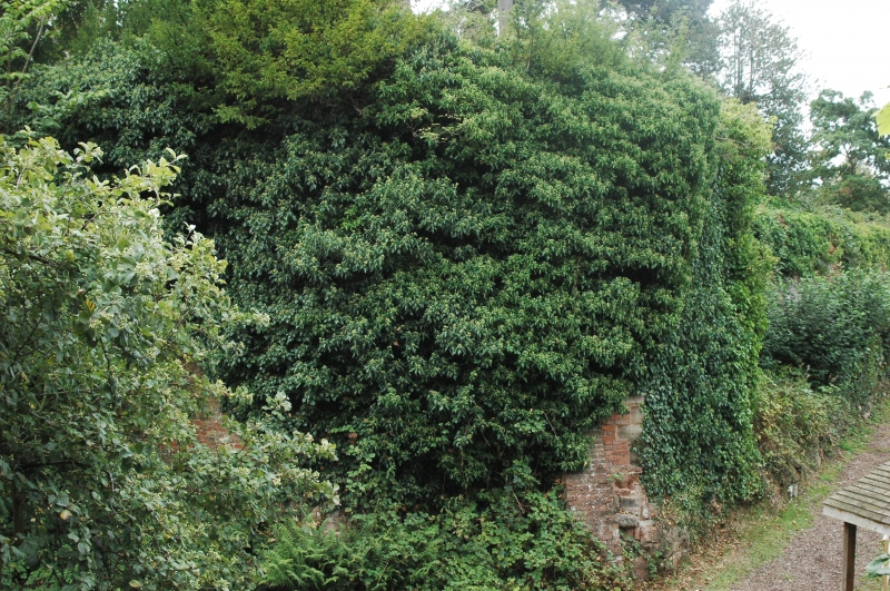
Truncated bastion and garden walls partly built on foundations
of medieval close defences. Probably early C14 with later
alterations and late C17 and C18 garden walls. Dressed stone
and brick. Octagonal tower has rubble base and brick re-facing
with stone quoins and raking brick buttresses; C18 or C19
parapet with some stone coping. Most detail obscured by ivy,
but one stone-dressed window visible to south east; entrance
to west has shouldered lintel and battened door.
INTERIOR recorded as having stone dogleg stair and chamber
with garderobe, 3 high windows and probably late medieval
vault. Garden wall extends south along line of defences, and
the rear garden wall extends west, with dry moat to north and
east; rear wall has stone facing and raking buttresses to
north, stone base to south; the east end has been altered for
conservatory, now demolished.
Wall to west marks boundary between the gardens of the Deanery
and the Palace, with a deviation east about halfway along its
length; part of this wall may be late C17. An important
remaining part of the medieval defences of the close.
(Drury P: The Capitular Estate of Dean and Chapter of
Lichfield Cathedral: 1987-; Victoria History of the County of
Stafford: Greenslade M W: Lichfield: Oxford: 1990-: P.60-1).
Listing NGR: SK1155709918
External links are from the relevant listing authority and, where applicable, Wikidata. Wikidata IDs may be related buildings as well as this specific building. If you want to add or update a link, you will need to do so by editing the Wikidata entry.


Other nearby listed buildings