Latitude: 54.8972 / 54°53'49"N
Longitude: -2.9417 / 2°56'30"W
OS Eastings: 339705
OS Northings: 556237
OS Grid: NY397562
Mapcode National: GBR 7CWT.Y8
Mapcode Global: WH802.S5DK
Plus Code: 9C6VV3W5+V8
Entry Name: Outer Bailey Half Moon Battery, Flanking Wall and Bridge
Listing Date: 1 June 1949
Grade: I
Source: Historic England
Source ID: 1197005
English Heritage Legacy ID: 386580
ID on this website: 101197005
Location: Caldewgate, Cumberland, Cumbria, CA3
County: Cumberland
District: Carlisle
Parish: Non Civil Parish
Built-Up Area: Carlisle
Traditional County: Cumberland
Lieutenancy Area (Ceremonial County): Cumbria
Church of England Parish: Carlisle St Cuthbert with St Mary
Church of England Diocese: Carlisle
CARLISLE
NY3956SE CARLISLE CASTLE 671-1/6/12 Outer Bailey: Half-Moon Battery, 01/06/49 Flanking Wall and Bridge
GV I
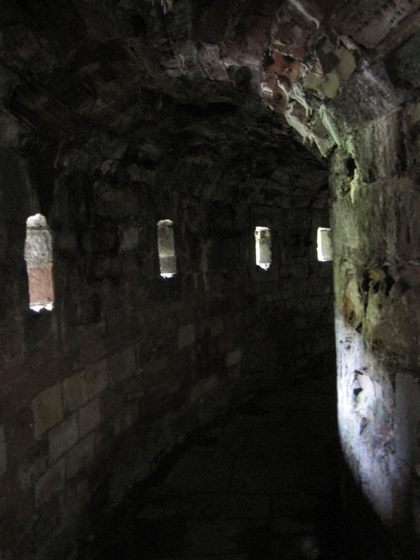
Battery and walls built as an outwork for the Captains Tower (qv); bridge replacing drawbridge. 1542 for Henry VIII by Stephen von Haschenperg; stone bridge added in late C18. Irregularly-coursed red and yellow squared sandstone. Single storey in half-moon shape, built into the inner moat so that its roof is now at ground level. Square splayed gun ports at regular intervals around the sides. Metal safety railings around steps at either side of the cobbled roof, (former gun platform) give access to inner half-moon passage. Flanking wall of similar material acts as retaining wall for the inner moat. At the southern end of this wall and crossing the moat is a single-span segmental-arched bridge; the parapet is of 1919. When no longer required, the moat was completely filled in 1827 and the upper parapet, on the battery and walls, was removed in 1833, so that there was nothing of these fortifications seen above ground until excavated 1917-19 (not to full and original depth). For full details see McCarthy et al (1990).
Listing NGR: NY3970556237
External links are from the relevant listing authority and, where applicable, Wikidata. Wikidata IDs may be related buildings as well as this specific building. If you want to add or update a link, you will need to do so by editing the Wikidata entry.


Other nearby listed buildings