Latitude: 51.6906 / 51°41'26"N
Longitude: 0.318 / 0°19'4"E
OS Eastings: 560320
OS Northings: 201635
OS Grid: TL603016
Mapcode National: GBR YC.0VW
Mapcode Global: VHHMQ.GRHW
Plus Code: 9F32M8R9+66
Entry Name: Wall from North East Corner of Church of St Laurence to Gateway at South West Corner of Jericho
Listing Date: 9 December 1994
Grade: II
Source: Historic England
Source ID: 1197163
English Heritage Legacy ID: 373312
ID on this website: 101197163
Location: Priory Church of St Laurence, Blackmore, Brentwood, Essex, CM4
County: Essex
District: Brentwood
Civil Parish: Blackmore, Hook End and Wyatts Green
Built-Up Area: Blackmore
Traditional County: Essex
Lieutenancy Area (Ceremonial County): Essex
Church of England Parish: Blackmore St Laurence
Church of England Diocese: Chelmsford
Tagged with: Wall
BLACKMORE
TL6001 CHURCH STREET 723-1/15/17 Wall from NE corner of Church of St Laurence to gateway at SW corner of Jericho
GV II
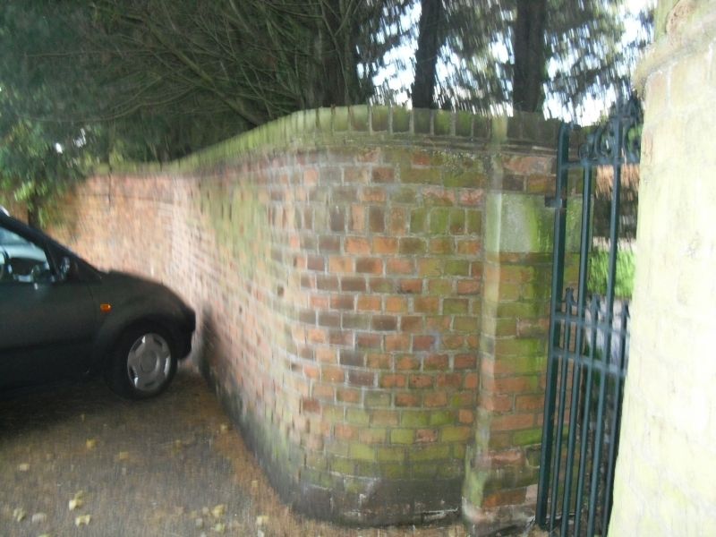
Boundary wall. C18. Red brick in Flemish bond. Abuts on Church of St Laurence (qv), dividing the garden of Jericho Priory (qv) from the churchyard, at which point it is approx 4m high, reducing to approximately 3m at the gateway. Buttresses on the E side at intervals of approx 4m, each having one roll moulding of moulded brick at half-height, and tumbled courses at 2 reductions. Plain coping of bricks on edge. Approx 30m long.
Listing NGR: TL6032001635
External links are from the relevant listing authority and, where applicable, Wikidata. Wikidata IDs may be related buildings as well as this specific building. If you want to add or update a link, you will need to do so by editing the Wikidata entry.


Other nearby listed buildings