Latitude: 54.1558 / 54°9'21"N
Longitude: -3.1799 / 3°10'47"W
OS Eastings: 323043
OS Northings: 473980
OS Grid: SD230739
Mapcode National: GBR 6N7D.C0
Mapcode Global: WH72B.4S0X
Plus Code: 9C6R5R4C+82
Entry Name: Outbuildings to Rear of Former Local Board Offices
Listing Date: 20 December 1993
Grade: II
Source: Historic England
Source ID: 1201085
English Heritage Legacy ID: 388604
ID on this website: 101201085
Location: Dalton-in-Furness, Westmorland and Furness, Cumbria, LA15
County: Westmorland and Furness
District: Barrow-in-Furness
Civil Parish: Dalton Town with Newton
Built-Up Area: Dalton-in-Furness
Traditional County: Lancashire
Lieutenancy Area (Ceremonial County): Cumbria
Church of England Parish: Dalton-in-Furness St Mary
Church of England Diocese: Carlisle
Tagged with: Appendage
BARROW IN FURNESS
SD2373 STATION ROAD, Dalton In Furness 708-1/11/210 (North East side) Outbuildings to rear of former Local Board Offices
GV II
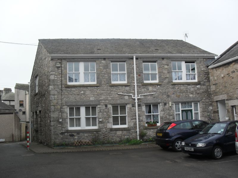
Outbuilding, formerly stables and superintendant's house for local fire station. 1884 (as Local Board Offices, qv), altered. Limestone rubble, slate roofs. Small house of 2 storeys and 3 windows to 1st floor; stable-block, set forward to left, 2 storeys, 3 bays. House: central door with overlight and plain lintel flanked by 4-pane casements with projecting stone sills and limestone lintels; 3 similar windows to 1st floor; end stacks. Stable: doorway with overlight flanked by windows as house; another doorway and small casement to left. 1st floor: rectangular hatch flanked by louvred pitching holes in the form of keyed oculi; ashlar gable copings. Original 1-storey engine house in wing to left is much altered and not of special interest. Included for group value.
Listing NGR: SD2304373980
External links are from the relevant listing authority and, where applicable, Wikidata. Wikidata IDs may be related buildings as well as this specific building. If you want to add or update a link, you will need to do so by editing the Wikidata entry.


Other nearby listed buildings