Latitude: 54.5415 / 54°32'29"N
Longitude: -1.9189 / 1°55'7"W
OS Eastings: 405347
OS Northings: 516250
OS Grid: NZ053162
Mapcode National: GBR HH1X.CS
Mapcode Global: WHB4L.H3HR
Plus Code: 9C6WG3RJ+HF
Entry Name: Garden Walls to East of Numbers 64 and 66, Spring Grove Garden Walls to Spring Grove, Newgate
Listing Date: 22 February 1973
Last Amended: 28 November 1994
Grade: II
Source: Historic England
Source ID: 1201330
English Heritage Legacy ID: 388776
ID on this website: 101201330
Location: Barnard Castle, County Durham, DL12
County: County Durham
Civil Parish: Barnard Castle
Built-Up Area: Barnard Castle
Traditional County: Durham
Lieutenancy Area (Ceremonial County): County Durham
Church of England Parish: Barnard Castle with Whorlton
Church of England Diocese: Durham
Tagged with: Wall
BARNARD CASTLE
NZ0516SW NEWGATE 770-1/6/146 (North side) 22/02/73 Garden walls to east of Nos.64 and 66, Spring Grove (Formerly Listed as: NEWGATE (North side) Garden walls to east of No.66 (Spring Grove))
GV II
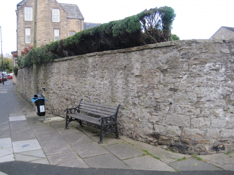
Formerly known as: The Parsonage House garden walls NEWGATE. Garden wall and piers round 3 sides of garden. C18 with C19 alterations and C20 wrought-iron gate. Rubble walls with ashlar coping and piers; brick leaf to wall at rear. Square piers on Newgate have chamfers with roll-moulded stops, and stepped shaped coping. Flat stone copings to wall, lower at left of piers with C20 wrought-iron railings, higher to right of piers, and ramped up to mid-first floor height at rear of garden where wall joins rear wing of No.66 (qv). Wall returns from Newgate round curved right corner to Birch Road and joins wall on west side of Birch Road (qv). c1971 wrought-iron gate in scrolled leaf and flower design. This was the garden of the C18 house, replaced by Nos 64 and 66 (qv), which was shown as the Parsonage house in 1827. Included for group value. (John Wood: Map of Barnard Castle: Barnard Castle: 1827-).
Listing NGR: NZ0534716250
External links are from the relevant listing authority and, where applicable, Wikidata. Wikidata IDs may be related buildings as well as this specific building. If you want to add or update a link, you will need to do so by editing the Wikidata entry.


Other nearby listed buildings