Latitude: 51.4682 / 51°28'5"N
Longitude: -2.5841 / 2°35'2"W
OS Eastings: 359522
OS Northings: 174522
OS Grid: ST595745
Mapcode National: GBR CBD.HJ
Mapcode Global: VH88N.5C79
Plus Code: 9C3VFC98+79
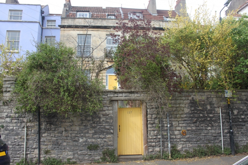
Entry Name: 127 and 129, York Road
Listing Date: 4 March 1977
Grade: II
Source: Historic England
Source ID: 1202731
English Heritage Legacy ID: 380953
ID on this website: 101202731
Location: Montpelier, Bristol, BS6
County: City of Bristol
Electoral Ward/Division: Ashley
Parish: Non Civil Parish
Built-Up Area: Bristol
Traditional County: Gloucestershire
Lieutenancy Area (Ceremonial County): Bristol
Church of England Parish: Bishopston and St Andrews
Church of England Diocese: Bristol
Tagged with: Building
BRISTOL
ST5974 YORK ROAD, Montpelier 901-1/36/1619 (North side) 04/03/77 Nos.127 AND 129
GV II
Pair of houses. Early C19. Limestone ashlar, brick stacks and pantile mansard roof. Double-depth plan. Each of 2 storeys and attic; 2-window range. Each house has a rusticated ground floor, pilasters, frieze, cornice and parapet; No.127 has a left-hand semicircular-arched doorway with rusticated voussoirs, fanlight and 6-panel door with margin lights; No.129 has a half-rendered ground floor with a C20 doorway; late C19 casements, a wrought-iron balcony to first-floor windows, and 2 dormers to each. INTERIOR not inspected. Originally a symmetrical house, the right-hand block was added and the house divided into 2.
Listing NGR: ST5952274522
External links are from the relevant listing authority and, where applicable, Wikidata. Wikidata IDs may be related buildings as well as this specific building. If you want to add or update a link, you will need to do so by editing the Wikidata entry.


Other nearby listed buildings