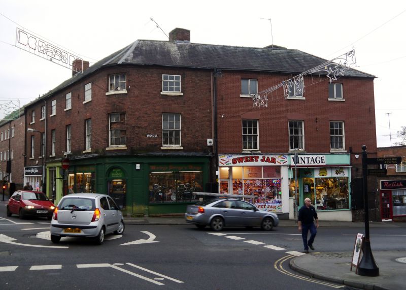
Latitude: 52.3392 / 52°20'21"N
Longitude: -2.2811 / 2°16'51"W
OS Eastings: 380947
OS Northings: 271275
OS Grid: SO809712
Mapcode National: GBR 0C0.640
Mapcode Global: VH920.DGYL
Plus Code: 9C4V8PQ9+MH
Entry Name: 27, Bridge Street
Listing Date: 5 July 1950
Grade: II
Source: Historic England
Source ID: 1209449
English Heritage Legacy ID: 393312
ID on this website: 101209449
Location: Stourport-on-Severn, Wyre Forest, Worcestershire, DY13
County: Worcestershire
District: Wyre Forest
Civil Parish: Stourport-on-Severn
Built-Up Area: Stourport-on-Severn
Traditional County: Worcestershire
Lieutenancy Area (Ceremonial County): Worcestershire
Church of England Parish: Stourport-on-Severn and Wilden
Church of England Diocese: Worcester
Tagged with: Building
STOURPORT ON SEVERN
SO8071SE BRIDGE STREET 589-1/8/6 (North West side) 05/07/50 No.27
GV II
Offices, probably originally built as a dwelling. c1800. Brick with slate roof. 3-storeyed, 2 bays with 6-panelled door in pedimented case with traceried overlight and 12-pane sash windows (9-pane to attic) with gauged brick heads. Sash windows on ground floor recently enlarged by lowering. Parapet eaves.
Listing NGR: SO8094771275
External links are from the relevant listing authority and, where applicable, Wikidata. Wikidata IDs may be related buildings as well as this specific building. If you want to add or update a link, you will need to do so by editing the Wikidata entry.


Other nearby listed buildings