Approximate Location Map
Large Map »
Latitude: 51.4149 / 51°24'53"N
Longitude: -1.52 / 1°31'12"W
OS Eastings: 433475
OS Northings: 168543
OS Grid: SU334685
Mapcode National: GBR 706.6JP
Mapcode Global: VHC1S.LPSP
Plus Code: 9C3WCF7H+XX
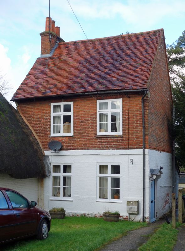
Entry Name: 20, Church Street
Listing Date: 8 June 1984
Grade: II
Source: Historic England
Source ID: 1210530
English Heritage Legacy ID: 395160
ID on this website: 101210530
Location: Hungerford, West Berkshire, RG17
County: West Berkshire
Civil Parish: Hungerford
Built-Up Area: Hungerford
Traditional County: Berkshire
Lieutenancy Area (Ceremonial County): Berkshire
Church of England Parish: Hungerford with Denford
Church of England Diocese: Oxford
Tagged with: Building
HUNGERFORD CHURCH STREET (North Side)
SU 3368
18/32 No.20
G.V. II
House. Late C18. Slate roof with end chimney to left. Brick walls,
ground floor painted. 2 storeys. 2 mullion and transom windows, band
at first floor. Entrance at side under plain gabled hood on cut
brackets. Included for group value with No.22 (q.v.)
Listing NGR: SU3347568543
External links are from the relevant listing authority and, where applicable, Wikidata. Wikidata IDs may be related buildings as well as this specific building. If you want to add or update a link, you will need to do so by editing the Wikidata entry.


Other nearby listed buildings
