Latitude: 50.7281 / 50°43'41"N
Longitude: -1.1649 / 1°9'53"W
OS Eastings: 459037
OS Northings: 92381
OS Grid: SZ590923
Mapcode National: GBR 9CN.6B9
Mapcode Global: FRA 87G5.008
Plus Code: 9C2WPRHP+62
Entry Name: Garden Wall of Nos 4 and 5
Listing Date: 18 May 1972
Grade: II
Source: Historic England
Source ID: 1217019
English Heritage Legacy ID: 411756
ID on this website: 101217019
Location: Ryde, Isle of Wight, PO33
County: Isle of Wight
Civil Parish: Ryde
Built-Up Area: Ryde
Traditional County: Hampshire
Lieutenancy Area (Ceremonial County): Isle of Wight
Church of England Parish: Ryde
Church of England Diocese: Portsmouth
Tagged with: Wall
JOHN STREET
1.
1577
(North Side)
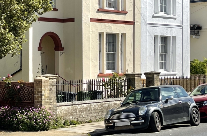
Garden Wall of Nos 4 & 5
SZ 5992 1/233A
II
2.
Low brick wall with capped piers and cast iron spear head railings between.
Listing NGR: SZ5903792381
External links are from the relevant listing authority and, where applicable, Wikidata. Wikidata IDs may be related buildings as well as this specific building. If you want to add or update a link, you will need to do so by editing the Wikidata entry.


Other nearby listed buildings