Latitude: 51.4865 / 51°29'11"N
Longitude: -2.7815 / 2°46'53"W
OS Eastings: 345830
OS Northings: 176686
OS Grid: ST458766
Mapcode National: GBR JG.KR13
Mapcode Global: VH7BW.QWWT
Plus Code: 9C3VF6P9+J9
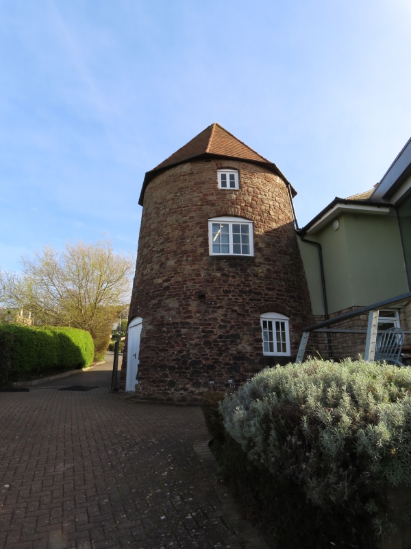
Entry Name: Remains of Former Windmill in the Golf Club
Listing Date: 4 August 1981
Grade: II
Source: Historic England
Source ID: 1220301
English Heritage Legacy ID: 394055
ID on this website: 101220301
Location: Dry Hill, North Somerset, BS20
County: North Somerset
Civil Parish: Portishead
Built-Up Area: Portishead
Traditional County: Somerset
Lieutenancy Area (Ceremonial County): Somerset
Tagged with: Windmill
1. 5121 NORE ROAD (north side) Remains of former windmill in the Golf Club ST 47 NE 1/18
II
2. Built 1832, now part of a Golf Club house. Random rubble, tiled roof. Two storeys, 2-light casements windows under segmental arches. Out of use in 1846 and converted into 2 storey dwelling. Incorporated into Golf Club in 1908.
Listing NGR: ST4583076686
External links are from the relevant listing authority and, where applicable, Wikidata. Wikidata IDs may be related buildings as well as this specific building. If you want to add or update a link, you will need to do so by editing the Wikidata entry.


Other nearby listed buildings