Approximate Location Map
Large Map »
Latitude: 51.5129 / 51°30'46"N
Longitude: -0.1361 / 0°8'10"W
OS Eastings: 529435
OS Northings: 180980
OS Grid: TQ294809
Mapcode National: GBR FC.LT
Mapcode Global: VHGQZ.L7DJ
Plus Code: 9C3XGV77+5H
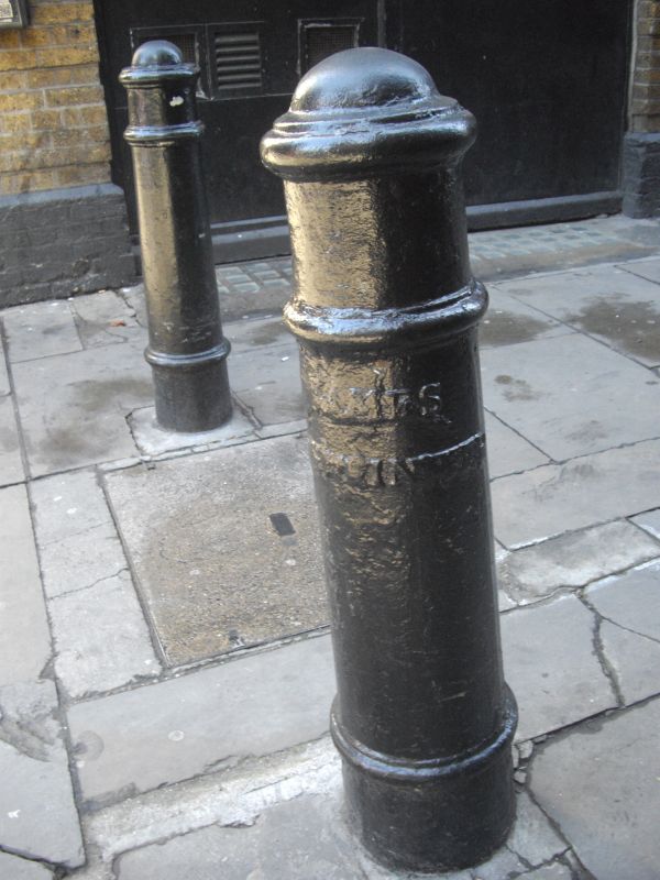
Entry Name: Bollard on Corner of Silver Place
Listing Date: 1 December 1987
Grade: II
Source: Historic England
Source ID: 1222008
English Heritage Legacy ID: 414015
ID on this website: 101222008
Location: Soho, Westminster, London, W1F
County: London
District: City of Westminster
Electoral Ward/Division: West End
Parish: Non Civil Parish
Built-Up Area: City of Westminster
Traditional County: Middlesex
Lieutenancy Area (Ceremonial County): Greater London
Church of England Parish: St Anne Soho
Church of England Diocese: London
Tagged with: Bollard
TQ 2980 NW CITY OF WESTMINSTER LEXINGTON STREET W1
70/59 (east side)
Bollard on corner of
Silver Place
GV II
Bollard. Early C19 cast iron of the cannon type.
Listing NGR: TQ2943580980
External links are from the relevant listing authority and, where applicable, Wikidata. Wikidata IDs may be related buildings as well as this specific building. If you want to add or update a link, you will need to do so by editing the Wikidata entry.


Other nearby listed buildings
