Latitude: 53.623 / 53°37'22"N
Longitude: -1.8847 / 1°53'5"W
OS Eastings: 407721
OS Northings: 414054
OS Grid: SE077140
Mapcode National: GBR HV8K.R0
Mapcode Global: WHCB6.06SD
Plus Code: 9C5WJ4F8+54
Entry Name: Slaithwaite Viaduct
Listing Date: 11 July 1985
Grade: II
Source: Historic England
Source ID: 1224049
English Heritage Legacy ID: 420016
ID on this website: 101224049
Location: Hill Top, Kirklees, West Yorkshire, HD7
County: Kirklees
Electoral Ward/Division: Colne Valley
Parish: Non Civil Parish
Built-Up Area: Huddersfield
Traditional County: Yorkshire
Lieutenancy Area (Ceremonial County): West Yorkshire
Church of England Parish: Slaithwaite with East Scammonden St James
Church of England Diocese: Leeds
Tagged with: Viaduct Railway viaduct
SE 01 SE SLAITHWAITE
5/448 Slaithwaite Viaduct
-
- II
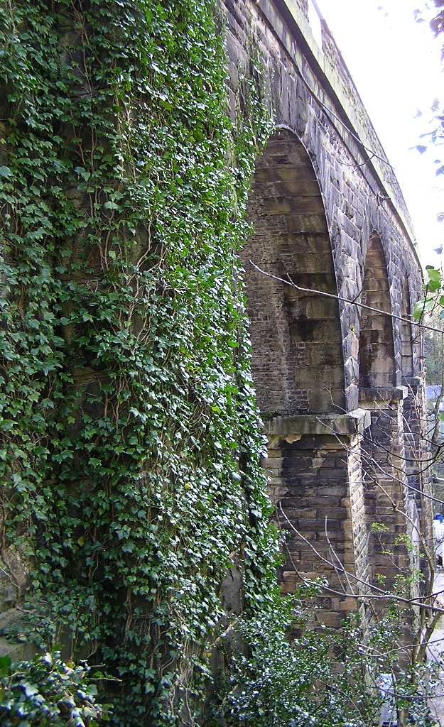
Built in two halves, c.1845 and c.1886. Date on arch keystone: WS 1886. Railway viaduct. Large coursed slightly rock-faced stone. Some rusticated and some ashlar dressings. Ashlar string course at springing of arches. 15 semicircular arches built in two halves, each carrying two tracks. Also, smaller arch at west end. Southern half has stone vaults. Northern half has brick vaults. Piers are slightly battered. Three piers at each end. Continuous parapet on ashlar string course, with ashlar coping. Most westerly arch (north side only) has date and inscription on keystone: WS 1886
Listing NGR: SE0772114054
External links are from the relevant listing authority and, where applicable, Wikidata. Wikidata IDs may be related buildings as well as this specific building. If you want to add or update a link, you will need to do so by editing the Wikidata entry.


Other nearby listed buildings