Latitude: 52.9025 / 52°54'8"N
Longitude: -1.5109 / 1°30'39"W
OS Eastings: 432997
OS Northings: 334004
OS Grid: SK329340
Mapcode National: GBR P9N.XW
Mapcode Global: WHCFV.R9QR
Plus Code: 9C4WWF2Q+XM
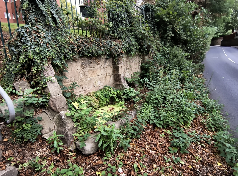
Entry Name: Horse Trough to South West of Ye Olde Cottage
Listing Date: 24 February 1977
Grade: II
Source: Historic England
Source ID: 1227839
English Heritage Legacy ID: 402305
ID on this website: 101227839
Location: Littleover, Derby, Derbyshire, DE23
County: City of Derby
Electoral Ward/Division: Littleover
Parish: Non Civil Parish
Built-Up Area: Derby
Traditional County: Derbyshire
Lieutenancy Area (Ceremonial County): Derbyshire
Church of England Parish: Littleover St Peter
Church of England Diocese: Derby
Tagged with: Cottage Watering trough Abreuvoir
THE HOLLOW 1. 5170 Littleover Horse trough to south-west of Ye Olde Cottage SK 33 SW 11/209 II
2. Of uncertain date but probably late C18 or early C19. About 15ft long, a narrow trough formed against the bottom of the bank with a low rubble wall at front.
Listing NGR: SK3299734004
External links are from the relevant listing authority and, where applicable, Wikidata. Wikidata IDs may be related buildings as well as this specific building. If you want to add or update a link, you will need to do so by editing the Wikidata entry.


Other nearby listed buildings