Latitude: 50.732 / 50°43'55"N
Longitude: -2.7579 / 2°45'28"W
OS Eastings: 346607
OS Northings: 92763
OS Grid: SY466927
Mapcode National: GBR PP.0C49
Mapcode Global: FRA 5734.PDX
Plus Code: 9C2VP6JR+RR
Entry Name: Ship Inn Public House
Listing Date: 19 September 1975
Grade: II
Source: Historic England
Source ID: 1227988
English Heritage Legacy ID: 402342
ID on this website: 101227988
Location: New Zealand, Dorset, DT6
County: Dorset
Civil Parish: Bridport
Built-Up Area: Bridport
Traditional County: Dorset
Lieutenancy Area (Ceremonial County): Dorset
Church of England Parish: Bridport St Mary
Church of England Diocese: Salisbury
Tagged with: Pub
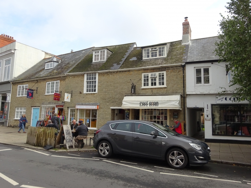
1.
1591 SOUTH STREET
(East Side )
Nos 37 (Ship Inn
Public house) 39 & 41
SY 4692 1/113
II 0V
2.
c18. Hammer dressed stone. Slate roofs. 2 storeys, and attic. Casements
and 1 sash with glazing bars. Attic dormers. 2 small C18 shopfronts with
glazing bars, that to Ship Inn canted, that to No 41 bowed.
Nos 37 to 43 (odd) and 43A and 43B form a group.
Listing NGR: SY4660792754
External links are from the relevant listing authority and, where applicable, Wikidata. Wikidata IDs may be related buildings as well as this specific building. If you want to add or update a link, you will need to do so by editing the Wikidata entry.


Other nearby listed buildings