Latitude: 51.4984 / 51°29'54"N
Longitude: -0.1769 / 0°10'36"W
OS Eastings: 526648
OS Northings: 179288
OS Grid: TQ266792
Mapcode National: GBR 4K.G1
Mapcode Global: VHGQY.WLCQ
Plus Code: 9C3XFRXF+87
Entry Name: Queen's Tower
Listing Date: 14 January 1970
Grade: II
Source: Historic England
Source ID: 1231643
English Heritage Legacy ID: 406800
Also known as: The Queen's Tower
Collcutt Tower
ID on this website: 101231643
Location: Knightsbridge, Westminster, London, SW7
County: London
District: City of Westminster
Electoral Ward/Division: Knightsbridge and Belgravia
Parish: Non Civil Parish
Built-Up Area: City of Westminster
Traditional County: Middlesex
Lieutenancy Area (Ceremonial County): Greater London
Church of England Parish: Holy Trinity South Kensington
Church of England Diocese: London
Tagged with: Observation tower
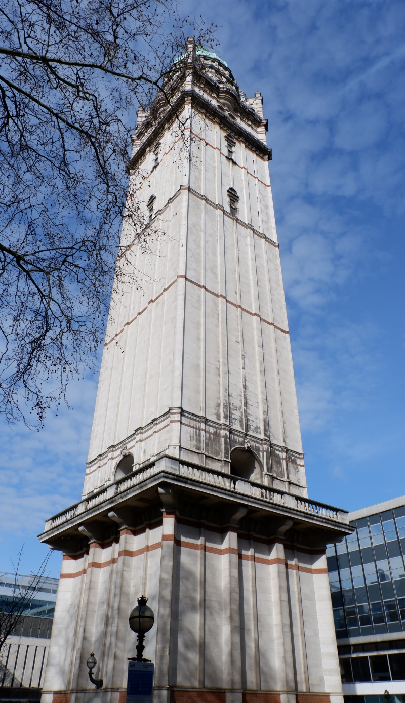
TQ 2679 SE CITY OF WESTMINSTER IMPERIAL INSTITUTE 94/8 ROAD, SW7 (North side) 14.1.70 Queen's Tower GV II Surviving tower of the demolished Imperial Institute 1887-1893. Thomas E Collcott. Portland stone with red brick bands; copper dome. Eclectic Renaissance manner. Four main stages with balustraded balconies between. Tall square shaft with pilaster strips; archway near base. Small arched windows at intervals, paired towards top. Dome with octagonal stage beneath having semicircular turrets and flying buttresses above four corners of tower. Cupola and gilded finial.
Listing NGR: TQ2664879288
External links are from the relevant listing authority and, where applicable, Wikidata. Wikidata IDs may be related buildings as well as this specific building. If you want to add or update a link, you will need to do so by editing the Wikidata entry.


Other nearby listed buildings