Latitude: 52.4412 / 52°26'28"N
Longitude: -2.2097 / 2°12'34"W
OS Eastings: 385843
OS Northings: 282597
OS Grid: SO858825
Mapcode National: GBR 1C2.S7B
Mapcode Global: VH91G.NW6Z
Plus Code: 9C4VCQRR+F4
Entry Name: Whittington Hall
Listing Date: 16 June 1953
Last Amended: 18 December 1987
Grade: II
Source: Historic England
Source ID: 1232011
English Heritage Legacy ID: 407327
ID on this website: 101232011
Location: Whittington, South Staffordshire, DY7
County: Staffordshire
District: South Staffordshire
Civil Parish: Kinver
Traditional County: Staffordshire
Lieutenancy Area (Ceremonial County): Staffordshire
Church of England Parish: Kinver St Peter
Church of England Diocese: Lichfield
Tagged with: House
KINVER C.P. WHITTINGTON
SO 88 SE
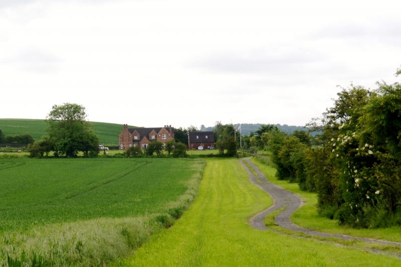
11/109 Whittington Hall (formerly
16.6.53 listed as Whittington
House)
GV II
Farmhouse. Early C18. Red brick; plain tile roofs; brick ridge
stack. Aligned north-south facing west, rear wings aligned east-west.
2 storeys with first floor band and plain parapet. 7 x 2 bays, 18-pane
glazing bar sashes with gauged brick heads. Central door with gabled
hood on brackets. Interior not inspected but likely to be of interest.
Listing NGR: SO8584382597
External links are from the relevant listing authority and, where applicable, Wikidata. Wikidata IDs may be related buildings as well as this specific building. If you want to add or update a link, you will need to do so by editing the Wikidata entry.


Other nearby listed buildings