Latitude: 50.9887 / 50°59'19"N
Longitude: -1.4962 / 1°29'46"W
OS Eastings: 435457
OS Northings: 121149
OS Grid: SU354211
Mapcode National: GBR 758.SN9
Mapcode Global: FRA 76RH.NXL
Plus Code: 9C2WXGQ3+FG
Entry Name: Railings at No 76
Listing Date: 4 December 1972
Grade: II
Source: Historic England
Source ID: 1232041
English Heritage Legacy ID: 407357
ID on this website: 101232041
Location: Romsey, Test Valley, Hampshire, SO51
County: Hampshire
District: Test Valley
Civil Parish: Romsey
Built-Up Area: Romsey
Traditional County: Hampshire
Lieutenancy Area (Ceremonial County): Hampshire
Church of England Parish: Romsey St Mary and St Ethelflaeda
Church of England Diocese: Winchester
Tagged with: Guard rail
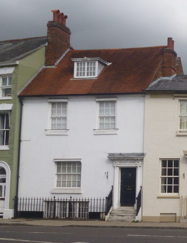
THE HUNDRED 1. (North Side) 1559 ------------ Railings at No 76 SU 3521 4/64
II
2. Cast iron railings extending across front from western handrail flanking steps as far west at No 74; slender square standards with urn finials.
Listing NGR: SU3545921154
External links are from the relevant listing authority and, where applicable, Wikidata. Wikidata IDs may be related buildings as well as this specific building. If you want to add or update a link, you will need to do so by editing the Wikidata entry.


Other nearby listed buildings