Approximate Location Map
Large Map »
Latitude: 54.9932 / 54°59'35"N
Longitude: -1.4009 / 1°24'3"W
OS Eastings: 438429
OS Northings: 566682
OS Grid: NZ384666
Mapcode National: GBR LBNP.HV
Mapcode Global: WHD4S.GR4G
Plus Code: 9C6WXHVX+7J
Entry Name: Trow Rock Floating Platform
Listing Date: 11 July 1986
Grade: II
Source: Historic England
Source ID: 1232338
English Heritage Legacy ID: 407705
ID on this website: 101232338
Location: South Tyneside, Tyne and Wear, NE33
County: South Tyneside
Electoral Ward/Division: Horsley Hill
Parish: Non Civil Parish
Traditional County: Durham
Lieutenancy Area (Ceremonial County): Tyne and Wear
Church of England Parish: South Westoe
Church of England Diocese: Durham
Tagged with: Architectural structure
1.
5102
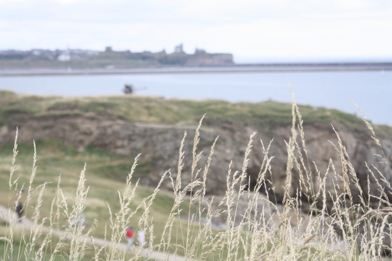
NZ 36 NE 12/89 TROW POINT
Trow Rock Floating Platform
II
2.
Casing of Clarke Maxim Disappearing Platform, for 6-inch breech-loading gun.
1887 for the Inspector General of Fortifications, for experimental trial purposes.
Mass concrete. Cylindrical shape of approx. 21 feet internal diameter with
west extension for approach tunnel. Rough-shuttered exterior. Interior shows
runners for steel floating platform (now removed) and entrance to tunnel.
Structure is sunk deeply into the ground to accommodate the water upon which
the platform rose and fell, actuated by air pressure pumps, and is now largely
filled with earth.
Historical note: Trials of platform took place on 15th and 16th December 1887.
It was found that the raising and lowering of the platform was too slow and
the system was abandoned in favour of the quicker and cheaper Elswick
hydro-pneumatic mounting.
Of historical interest as a relic of late C19 artillery development experiments.
Listing NGR: NZ3842966682
External links are from the relevant listing authority and, where applicable, Wikidata. Wikidata IDs may be related buildings as well as this specific building. If you want to add or update a link, you will need to do so by editing the Wikidata entry.


Other nearby listed buildings
