Latitude: 51.1958 / 51°11'44"N
Longitude: 1.3401 / 1°20'24"E
OS Eastings: 633462
OS Northings: 149362
OS Grid: TR334493
Mapcode National: GBR X21.X7J
Mapcode Global: VHLH5.56TP
Plus Code: 9F3358WR+83
Entry Name: The Boot
Listing Date: 13 October 1952
Grade: II
Source: Historic England
Source ID: 1237031
English Heritage Legacy ID: 428215
ID on this website: 101237031
Location: Sutton, Dover, Kent, CT15
County: Kent
District: Dover
Civil Parish: Sutton
Traditional County: Kent
Lieutenancy Area (Ceremonial County): Kent
Tagged with: Architectural structure
SUTTON CHURCH HILL TR 35 SW (East side)
7/96 The Boot 13.10.52
GV II
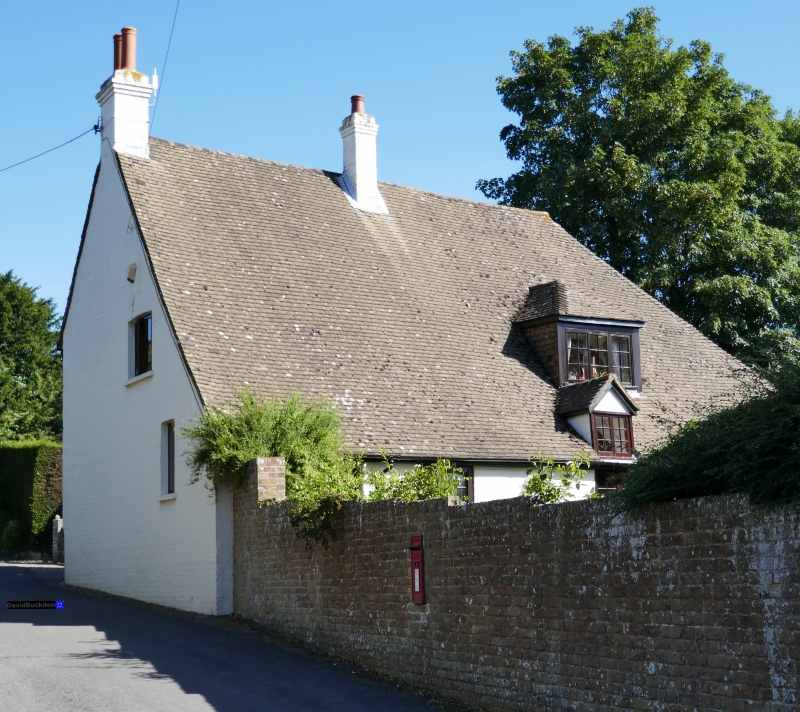
Inn, now house. Late C17. Painted brick and concrete tiled roof. Two storeys and basement on plinth with plat band and roof hipped to left with stacks to rear centre and projecting at end right. Two wooden casements on each floor to left and lwooden casement on first floor and 1 glazing bar sash on ground floor to right. Central projecting 2 storey porch, with round headed doorway and half-panelled doors, and segmental shaped pediment. Basement openings to left and to right.
Listing NGR: TR3346249362
External links are from the relevant listing authority and, where applicable, Wikidata. Wikidata IDs may be related buildings as well as this specific building. If you want to add or update a link, you will need to do so by editing the Wikidata entry.


Other nearby listed buildings