Approximate Location Map
Large Map »
Latitude: 51.1961 / 51°11'45"N
Longitude: 1.342 / 1°20'31"E
OS Eastings: 633592
OS Northings: 149406
OS Grid: TR335494
Mapcode National: GBR X21.XTG
Mapcode Global: VHLH5.66TD
Plus Code: 9F3358WR+CR
Entry Name: Parsonage Farmhouse
Listing Date: 11 October 1963
Grade: II
Source: Historic England
Source ID: 1263965
English Heritage Legacy ID: 429041
ID on this website: 101263965
Location: Sutton, Dover, Kent, CT15
County: Kent
District: Dover
Civil Parish: Sutton
Traditional County: Kent
Lieutenancy Area (Ceremonial County): Kent
Tagged with: Farmhouse
SUTTON VALE ROAD
TR 34 NW
Sutton
(West side)
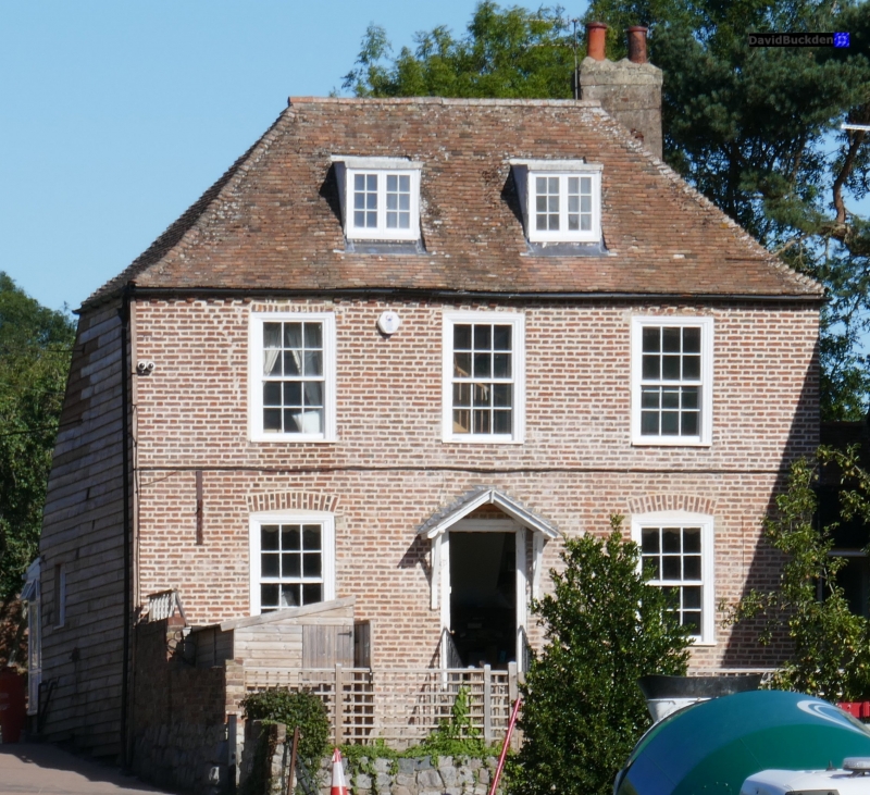
7/103 Parsonage Farmhouse
11.10.63
II
House. Early C18. Red brick and plain tiled roof. Two storeys and attic
with hipped roof, 2 raking dormers and stacks to right.
Regular fenestration of 3 glazing bar sashes on first floor and 2 on
ground floor. Central half-glazed door. The whole building is so heavily
overgrown with ivy as to obscure all architectural details.
Listing NGR: TR3359249406
External links are from the relevant listing authority and, where applicable, Wikidata. Wikidata IDs may be related buildings as well as this specific building. If you want to add or update a link, you will need to do so by editing the Wikidata entry.


Other nearby listed buildings
