Approximate Location Map
Large Map »
Latitude: 51.9367 / 51°56'12"N
Longitude: 1.0952 / 1°5'42"E
OS Eastings: 612861
OS Northings: 230994
OS Grid: TM128309
Mapcode National: GBR TP5.FQS
Mapcode Global: VHLCB.XLT5
Plus Code: 9F33W3PW+M3
Entry Name: Ruins of St Mary's Church
Listing Date: 17 November 1966
Grade: II
Source: Historic England
Source ID: 1240277
English Heritage Legacy ID: 438424
ID on this website: 101240277
Location: Mistley Heath, Tendring, Essex, CO11
County: Essex
District: Tendring
Civil Parish: Mistley
Traditional County: Essex
Lieutenancy Area (Ceremonial County): Essex
Church of England Parish: Mistley with Manningtree St Mary and St Michael
Church of England Diocese: Chelmsford
MISTLEY HEATH ROAD
TM 13 SW
3/231 Ruins of St. Mary's
17.11.66 Church
- II
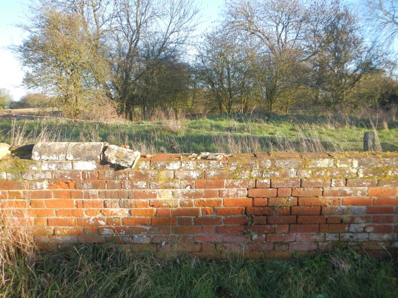
Ruins of former parish church. Said to have been. Medieval with circa 1500 south
porch. The flint and rubble ruins are now much overgrown and surrounded by
barbed wire. The porch has been demolished and only the bases of some walls
show to a height of 1 metre above ground level. RCHM 1.
Listing NGR: TM1286130994
External links are from the relevant listing authority and, where applicable, Wikidata. Wikidata IDs may be related buildings as well as this specific building. If you want to add or update a link, you will need to do so by editing the Wikidata entry.


Other nearby listed buildings
