Latitude: 52.9891 / 52°59'20"N
Longitude: -0.735 / 0°44'6"W
OS Eastings: 485011
OS Northings: 344283
OS Grid: SK850442
Mapcode National: GBR CMQ.M02
Mapcode Global: WHFJ3.P458
Plus Code: 9C4XX7Q7+MX
Entry Name: Cross 3 Metres to South of Church of All Saints
Listing Date: 16 August 1984
Grade: II
Source: Historic England
Source ID: 1253496
English Heritage Legacy ID: 436729
ID on this website: 101253496
Location: All Saints' Church, Westborough, South Kesteven, Lincolnshire, NG23
County: Lincolnshire
District: South Kesteven
Civil Parish: Westborough and Dry Doddington
Built-Up Area: Westborough
Traditional County: Lincolnshire
Lieutenancy Area (Ceremonial County): Lincolnshire
Church of England Parish: Westborough All Saints
Church of England Diocese: Lincoln
SK 84 SE WESTBOROUGH & DRY DODDINGTON TOWN STREET (south end)
5/100 Cross 3M to south of Church of All Saints
G.V. II
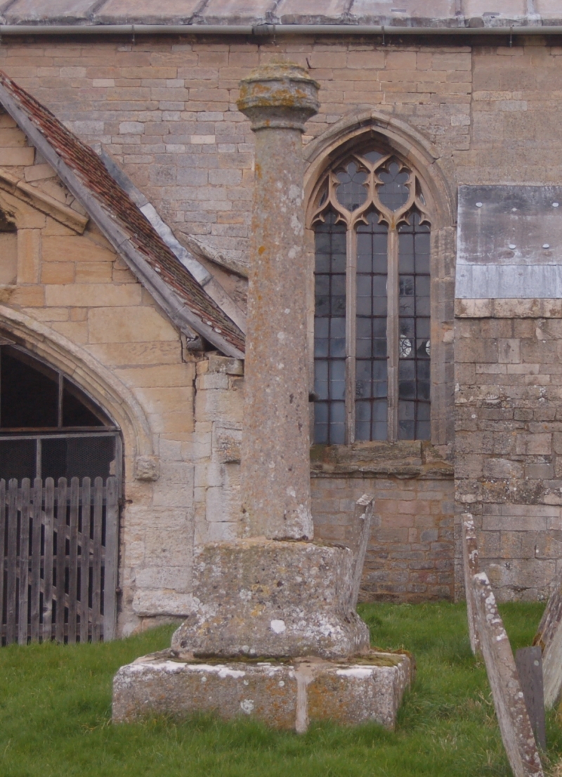
Cross. C15. Limestone. Rectangular base in 2 steps, the upper with inverted triangular corners. Shaft and octagonal knop intact.
Listing NGR: SK8501044284


Other nearby listed buildings