Approximate Location Map
Large Map »
Latitude: 51.507 / 51°30'25"N
Longitude: -0.0707 / 0°4'14"W
OS Eastings: 533988
OS Northings: 180440
OS Grid: TQ339804
Mapcode National: GBR XF.7Y
Mapcode Global: VHGR0.QDG2
Plus Code: 9C3XGW4H+RP
Entry Name: Footbridge (Between the Basin and East Dock Water Areas)
Listing Date: 27 September 1973
Grade: II
Source: Historic England
Source ID: 1260335
English Heritage Legacy ID: 206222
ID on this website: 101260335
Location: Wapping, Tower Hamlets, London, E1W
County: London
District: Tower Hamlets
Electoral Ward/Division: St Katharine's & Wapping
Parish: Non Civil Parish
Built-Up Area: Tower Hamlets
Traditional County: Middlesex
Lieutenancy Area (Ceremonial County): Greater London
Church of England Parish: St Peter London Docks
Church of England Diocese: London
Tagged with: Footbridge
ST KATHARINE'S WAY EC3
1.
4431
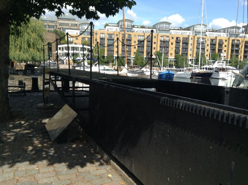
Footbridge (between the
basin and east dock water areas)
TQ 3380 21/878
II GV
2.
Early C19. Iron footbridge by Telford (now removed temporarily for restoration).
Warehouses B, C, G and I form a group with the Dockmaster's Office, the house
beside No 6 gate and the boundary walls, gate piers and footbridge in St Katharine's
Dock.
Listing NGR: TQ3398880440
External links are from the relevant listing authority and, where applicable, Wikidata. Wikidata IDs may be related buildings as well as this specific building. If you want to add or update a link, you will need to do so by editing the Wikidata entry.


Other nearby listed buildings
