Latitude: 51.2407 / 51°14'26"N
Longitude: 0.5191 / 0°31'8"E
OS Eastings: 575938
OS Northings: 152075
OS Grid: TQ759520
Mapcode National: GBR PRM.031
Mapcode Global: VHJML.Y29P
Plus Code: 9F326GR9+7J
Entry Name: Loose Viaduct
Listing Date: 23 May 1967
Grade: II
Source: Historic England
Source ID: 1263170
English Heritage Legacy ID: 433043
ID on this website: 101263170
Location: Loose, Maidstone, Kent, ME15
County: Kent
District: Maidstone
Civil Parish: Loose
Built-Up Area: Maidstone
Traditional County: Kent
Lieutenancy Area (Ceremonial County): Kent
Tagged with: Viaduct Road bridge
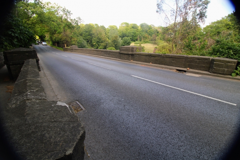
SALTS LANE TQ 7552 LOOSE 6/200 Loose Viaduct 23.5.67 GV II Viaduct. 1830, by Telford. Dressed stone. Soffit of arch red brick in stretcher bond. Single elliptical arch with span of about 50 feet. Plain stone plinth. Even, up-ended stone voussoirs springing from tooled stone imposts. Arch closely flanked by doubly-projecting pilasters, which rise slightly above parapet. Tooled stone plat band, immediately above arch and carried over pilasters. Plain parapet, with stone coping continued as further plat band across pilasters. Short, curved flanking retaining walls ramped down to single end pilasters. West side cantilevered out in C20 in similar style and materials, for footpath. Carries turnpike road across narrow Loose valley.
Listing NGR: TQ7593852074
External links are from the relevant listing authority and, where applicable, Wikidata. Wikidata IDs may be related buildings as well as this specific building. If you want to add or update a link, you will need to do so by editing the Wikidata entry.


Other nearby listed buildings