Latitude: 50.4314 / 50°25'53"N
Longitude: -3.691 / 3°41'27"W
OS Eastings: 279996
OS Northings: 60432
OS Grid: SX799604
Mapcode National: GBR QL.MCFM
Mapcode Global: FRA 374X.CW0
Plus Code: 9C2RC8J5+HJ
Entry Name: 79, High Street
Listing Date: 25 March 1969
Grade: II
Source: Historic England
Source ID: 1264688
English Heritage Legacy ID: 427165
ID on this website: 101264688
Location: Totnes, South Hams, Devon, TQ9
County: Devon
District: South Hams
Civil Parish: Totnes
Built-Up Area: Totnes
Traditional County: Devon
Lieutenancy Area (Ceremonial County): Devon
Church of England Parish: Totnes St Mary
Church of England Diocese: Exeter
Tagged with: Building
1. 5180 HIGH STREET No 79 SX 7960 SE 1/71B 25.3.69.
II GV
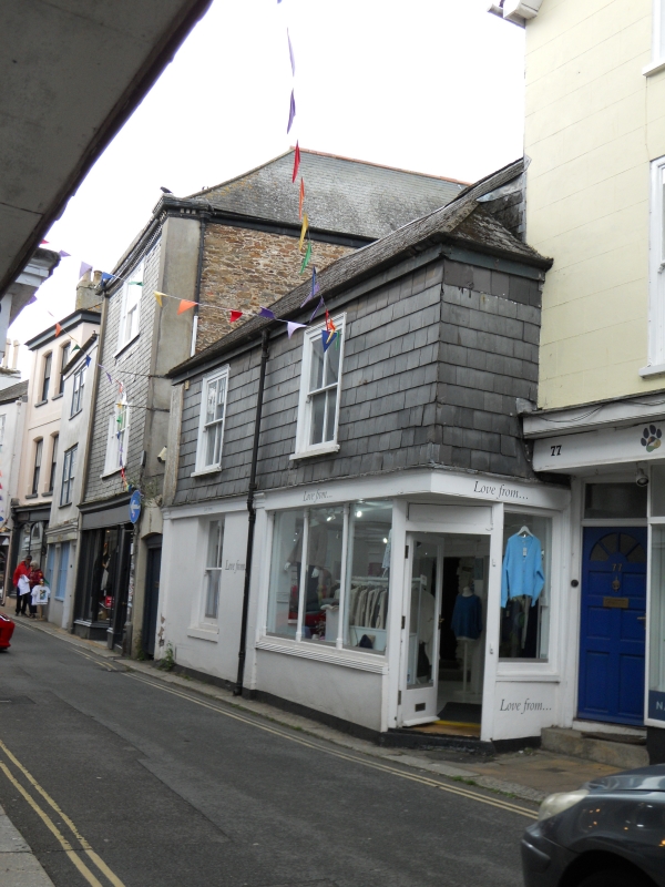
2. Earlier-mid C19, incorporating former No 81. 2 storeys. 2 windows. Hipped Welsh slate roof. Slate hung 1st floor with plain eaves band. Stucco ground floor. No 79 shopfront on corner; shop window with columnette-mullions. Former No 81 with shopfront replaced by sash window with pilasters on quoins. Side entrance at south end.
Listing NGR: SX7999660431
External links are from the relevant listing authority and, where applicable, Wikidata. Wikidata IDs may be related buildings as well as this specific building. If you want to add or update a link, you will need to do so by editing the Wikidata entry.


Other nearby listed buildings