Latitude: 52.7096 / 52°42'34"N
Longitude: -2.751 / 2°45'3"W
OS Eastings: 349355
OS Northings: 312706
OS Grid: SJ493127
Mapcode National: GBR BJ.29F0
Mapcode Global: WH8BT.Q551
Plus Code: 9C4VP65X+VH
Entry Name: 29, Castle Street
Listing Date: 10 January 1953
Grade: II
Source: Historic England
Source ID: 1271119
English Heritage Legacy ID: 455434
ID on this website: 101271119
SHREWSBURY
SJ4912NW CASTLE STREET 653-1/11/168 (South East side) 10/01/53 No.29
GV II
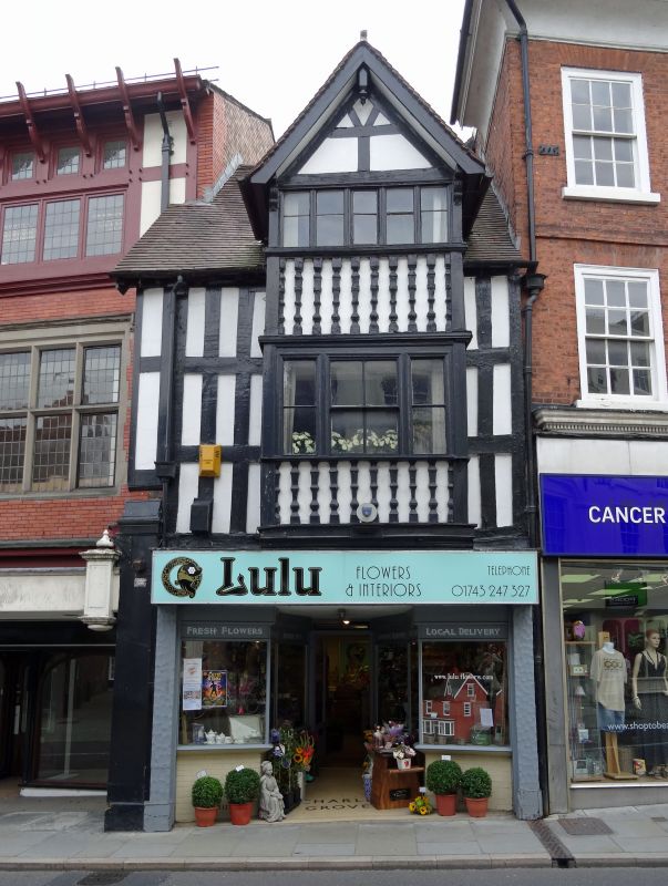
Shop, probably built as shop and dwelling. Early C17. Timber-framed with plain tiled roof. 2 storeys and attic, single-window range. Shop front inserted in late C20. Canted bay over, with tripartite sash windows and 5-light casement beneath gable apex. Balustraded decoration on the bay, the framing on the main structure close studding with 2 intermediate rails. Gable apex slightly jettied on moulded brackets, with queen strut roof and pendant finial to barge-boards. (Smith JT: Shrewsbury: Topography and Domestic Architecture to the Mid C17: 1953-).
Listing NGR: SJ4935912702
External links are from the relevant listing authority and, where applicable, Wikidata. Wikidata IDs may be related buildings as well as this specific building. If you want to add or update a link, you will need to do so by editing the Wikidata entry.


Other nearby listed buildings