Approximate Location Map
Large Map »
Latitude: 51.3676 / 51°22'3"N
Longitude: 1.4027 / 1°24'9"E
OS Eastings: 636949
OS Northings: 168672
OS Grid: TR369686
Mapcode National: GBR X06.7G8
Mapcode Global: VHMCP.8WFF
Plus Code: 9F339C93+33
Entry Name: Sacketts Hill Farmhouse
Listing Date: 24 January 1950
Grade: II
Source: Historic England
Source ID: 1273688
English Heritage Legacy ID: 417109
ID on this website: 101273688
Location: Westwood, Thanet, Kent, CT10
County: Kent
District: Thanet
Civil Parish: Broadstairs and St. Peters
Traditional County: Kent
Lieutenancy Area (Ceremonial County): Kent
Tagged with: Farmhouse
DANE COURT ROAD
1.
5283
(South West Side)
ST PETER'S
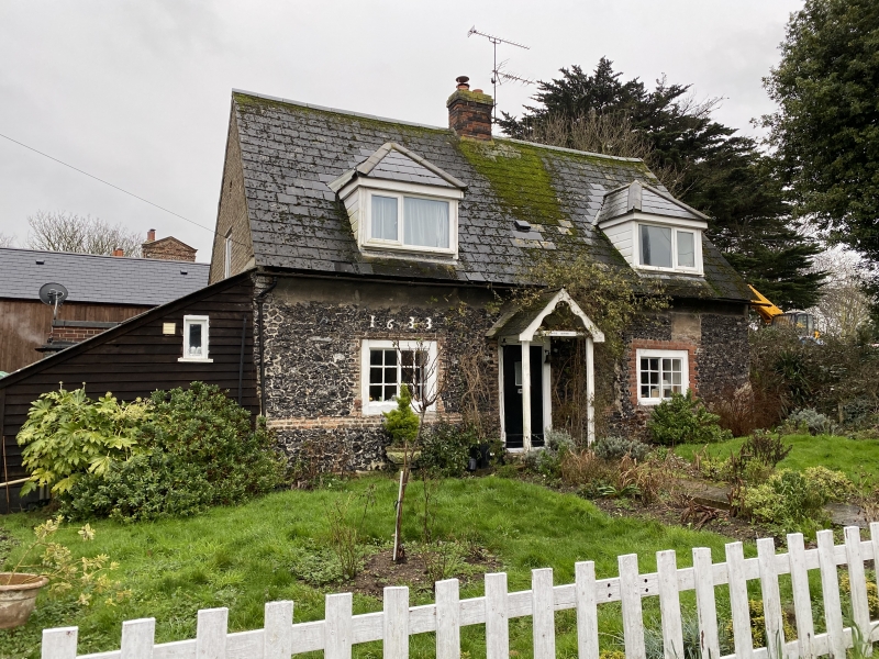
Sacketts Hill Farmhouse
TR 36 NE 5/36 24.1.50.
II
2.
Late C17 to early C18. 2 storeys red brick, the front now painted. Shaped Dutch
gables at the ends. 3 sash windows on the 1st floor with glazing bars missing.
Casement windows on the ground floor. Flat hood to door.
Listing NGR: TR3694968672
External links are from the relevant listing authority and, where applicable, Wikidata. Wikidata IDs may be related buildings as well as this specific building. If you want to add or update a link, you will need to do so by editing the Wikidata entry.


Other nearby listed buildings
