Latitude: 51.3652 / 51°21'54"N
Longitude: 1.4189 / 1°25'7"E
OS Eastings: 638083
OS Northings: 168451
OS Grid: TR380684
Mapcode National: GBR X06.CJ7
Mapcode Global: VHMCP.JYYB
Plus Code: 9F339C89+3G
Entry Name: Parish Church of St Peter the Apostle
Listing Date: 20 September 1974
Grade: II*
Source: Historic England
Source ID: 1273791
English Heritage Legacy ID: 417092
Also known as: St Peter's Church, Broadstairs and St Peter's
ID on this website: 101273791
Location: St Peter's Church, St Peter's, Thanet, Kent, CT10
County: Kent
District: Thanet
Civil Parish: Broadstairs and St. Peters
Built-Up Area: Broadstairs
Traditional County: Kent
Lieutenancy Area (Ceremonial County): Kent
Tagged with: Church building
In the entry for;
CHURCH STREET TR 3868 SW 3/22 Parish Church of St Peter the Apostle 24.1.50 B the grade shall be amended to read; II* (star)
------------------------------------
CHURCH STREET 1, 5283 ST PETERS Parish Church of St Peter the Apostle TR 3868 SW 3/22 24.1.50. B
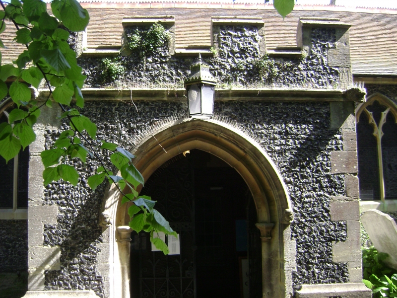
Norman arcade to Nave. The remainder is C14 to C15 but restored by Joseph Clarke between 1852 and 1859. Flint-faced with stone quoins and buttresses. Double trefoliated windows. North-West Perpendicular squat flint tower crenellated with stone quoins and gargoyles. Perpendicular South porch. 5 bay Norman Nave with North and South aisles. Piscina, sedilia and stoup.
Listing NGR: TR3808368451
External links are from the relevant listing authority and, where applicable, Wikidata. Wikidata IDs may be related buildings as well as this specific building. If you want to add or update a link, you will need to do so by editing the Wikidata entry.


Other nearby listed buildings