Latitude: 53.2793 / 53°16'45"N
Longitude: -0.7794 / 0°46'45"W
OS Eastings: 481480
OS Northings: 376506
OS Grid: SK814765
Mapcode National: GBR RZ0J.15
Mapcode Global: WHFGK.0T3X
Plus Code: 9C5X76HC+P6
Entry Name: Manor Farmhouse and Attached Wall
Listing Date: 12 July 1985
Grade: II
Source: Historic England
Source ID: 1276573
English Heritage Legacy ID: 409019
ID on this website: 101276573
Location: Laneham, Bassetlaw, Nottinghamshire, DN22
County: Nottinghamshire
District: Bassetlaw
Civil Parish: Laneham
Built-Up Area: Rampton
Traditional County: Nottinghamshire
Lieutenancy Area (Ceremonial County): Nottinghamshire
Church of England Parish: Laneham
Church of England Diocese: Southwell and Nottingham
Tagged with: Farmhouse
SK 87 NW LANEHAM CHURCH LANE (east side) Church Laneham
2/28 Manor Farmhouse and attached wall
G.V. II
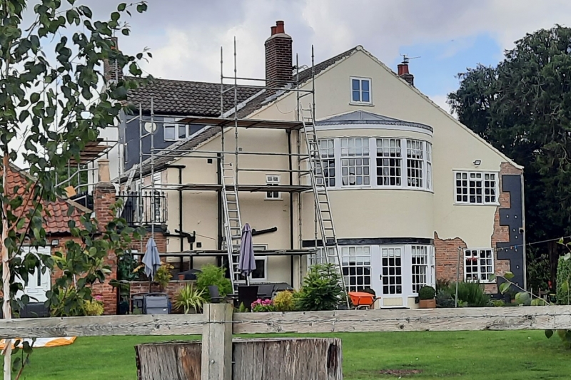
Farmhouse and attached wall. Early C19. Render. Lowered pantile roof. 2 red brick stacks. 2 storeys, 3 bays. Central doorway with glazed door, overlight, reeded surround, paterae and dentil cornice. Either side are single tripartite glazing bar sashes. 2 similar sashes above with a central smaller glazing bar sash. To the rear are later, lower, 2 storey extensions. Attached to the front right is a low red brick wall with ashlar coping surmounted by iron railings with decorative finials. This extends 4 metres west and then 44 metres north, broken by a small gateway with a pair of decorative iron piers and a similar gate.
Listing NGR: SK8148076506
External links are from the relevant listing authority and, where applicable, Wikidata. Wikidata IDs may be related buildings as well as this specific building. If you want to add or update a link, you will need to do so by editing the Wikidata entry.


Other nearby listed buildings