Latitude: 51.7174 / 51°43'2"N
Longitude: -1.9696 / 1°58'10"W
OS Eastings: 402193
OS Northings: 202076
OS Grid: SP021020
Mapcode National: GBR 3QY.6VT
Mapcode Global: VHB2Q.T328
Plus Code: 9C3WP28J+X4
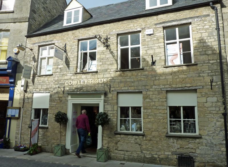
Entry Name: 12, Black Jack Street
Listing Date: 23 July 1971
Grade: II
Source: Historic England
Source ID: 1280974
English Heritage Legacy ID: 365155
ID on this website: 101280974
Location: Cirencester, Cotswold, Gloucestershire, GL7
County: Gloucestershire
District: Cotswold
Civil Parish: Cirencester
Built-Up Area: Cirencester
Traditional County: Gloucestershire
Lieutenancy Area (Ceremonial County): Gloucestershire
Church of England Parish: Cirencester St John the Baptist
Church of England Diocese: Gloucester
Tagged with: Building
CIRENCESTER
SP0202 BLACK JACK STREET 578-1/4/16 (North side) 23/07/71 No.12
GV II
House, now undertakers. C18. Coursed squared limestone; Welsh slate roof; two brick stacks on rear wing. 2 storeys and cellar; 4-window range. First floor has four 2-light timber mullion-and-transom windows in plain reveals with exposed timber lintels and concrete cills; ground floor has three 2-light metal casements in similar reveals. Four-panel door to centre left has early C19 surround with moulded timber architrave, relief reeded panel on frieze, moulded timber cornice. Shallow plinth. INTERIOR not inspected.
Listing NGR: SP0219302090
External links are from the relevant listing authority and, where applicable, Wikidata. Wikidata IDs may be related buildings as well as this specific building. If you want to add or update a link, you will need to do so by editing the Wikidata entry.


Other nearby listed buildings